


This is an archived article that was published on sltrib.com in 2015, and information in the article may be outdated. It is provided only for personal research purposes and may not be reprinted.
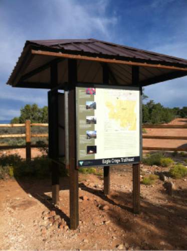
Directions • From State Route 9 in Rockville, turn south onto Bridge Road. Follow it three-tenths of a mile out of town. Take a very slight right and then straighten south again, and follow the road up a ridge as it winds in southern directions for another 1.1 miles. The road turns north for the final fourth-tenths of a mile and arrives at a large pull-out, pit toilet and kiosk marking Eagle Crags Trail. The trailhead is at GPS coordinates 37.147484, -113.031189.
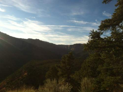
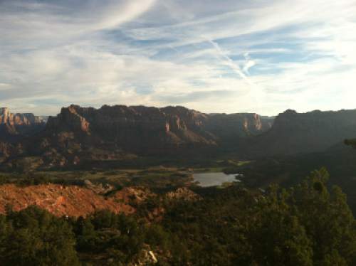
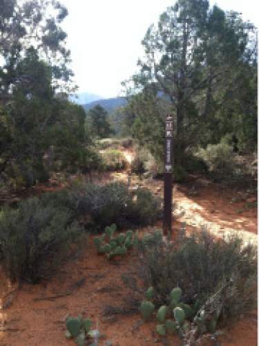
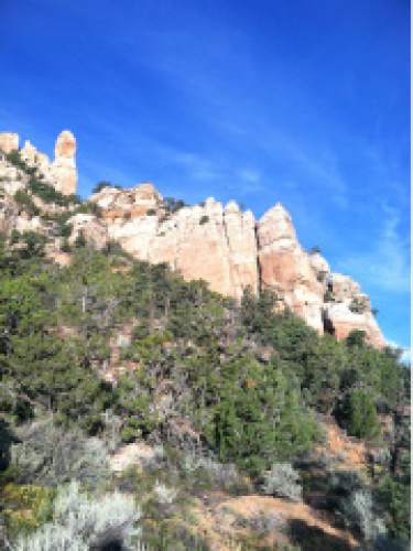
Hike • The final Hike of the Week for 2015 finds a great trail into a wilderness area outside Zion National Park. From the trailhead, the trail meanders southeast through juniper trees and downhill for the first half-mile. Then the ascent begins and continues until almost the end. At eight-tenths of a mile is an old hikers' gate. Just before the 2-mile mark, the trail steepens while continuing southeast. At 2.3 miles, look south or southwest and you'll see a hoodoo named Mrs. Butterworth for its resemblance to the syrup bottle. Also nearby is an overlook where you can see Zion Canyon and a reservoir below to the east. Continue southeast to a switchback at 2.5 miles. The trail steepens until you reach the top of the ridge at 3 miles. Follow the trail a few hundred feet to the back side of the ridge and you'll have a view of Cannan Mountain Wilderness Area on the distant valley floor.
— Nate Carlisle DestinationRidge overlook
Hiking time3 hours
Round trip miles6.14 miles
Elevation gain1,065 feet
DifficultyModerate
Trail head restroomsYes
Dogs allowedYes
Bikes allowedNo