


This is an archived article that was published on sltrib.com in 2015, and information in the article may be outdated. It is provided only for personal research purposes and may not be reprinted.
Directions • From Interstate 80, take Grantsville exit 84. At the stop sign, go left and cross two sets of train tracks. Follow the gravel causeway north across the salt-evaporator ponds. Drive 14 miles to the northern end of the island. Road is hard-pack and fine for cars.
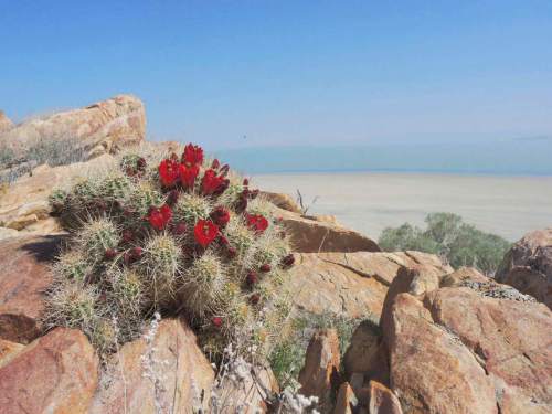
May is the perfect time to see Claret Cup Cactus in bloom on the island. It also is the time of the year that biting gnats are out to drive you crazy — so come prepared with a bug head net or insect repellent to enjoy your hike.
The trail starts at the parking lot and heads east across the dry lake bed. On the other side, turn right on the dirt road. The road turns west as it loops toward a rocky hillside. You'll see two dirt roads leading up the hillside to the south. Take the longer, higher road on the right to the top.
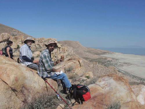
The highest point of the hike comes at the top of the hill, about two miles in. Catch your breath as the trail drops down. To find the Claret Cup Cactus, hike toward the flat area to a rocky outcrop, leaving the trail. It's a great place to have lunch.
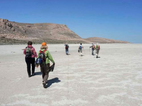
After visiting the cactus, make your way south and pick the easiest route down toward the shoreline. Hiking on the dry lake bed offers a unique view of the surrounding area. Hike the lake bed north and look for a dirt road heading straight up the hill, and take it.
At the top of the hill are more cactuses to enjoy, before you drop down and head back to your car. Enjoy your island hike!
— Steve Baker DestinationCactus and island views
Hiking time3.5 hours
Round-trip miles6
Elevation gain808 feet
DifficultyEasy/moderate
Trailhead restroomsYes
Dogs allowedYes
Bikes allowedNo