


This is an archived article that was published on sltrib.com in 2015, and information in the article may be outdated. It is provided only for personal research purposes and may not be reprinted.
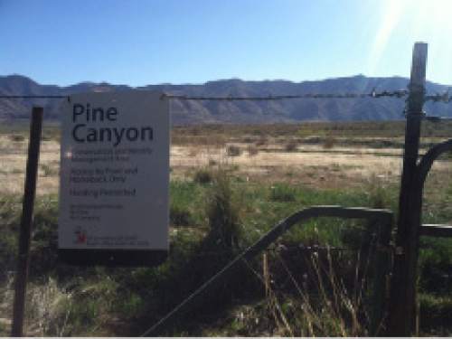
Directions • From Interstate 80, drive south on State Road 36 for 7.1 miles. Turn east onto Erda Way. After 1 mile, turn south onto Droubay Road and follow it for 2.5 miles. Turn east again onto 2000 North. After 1 mile, turn south again onto Blue Peak Road. Follow the road about three-quarters of a mile to a parking lot with signs for Pine Canyon Conservation Area. The trailhead is there.
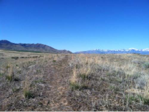
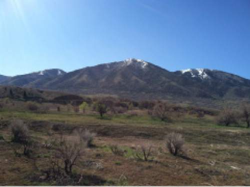
Pine Canyon Conservation Area offers some flat trails through grasses and a view of the west slope of the Oquirrh Mountains. From the trailhead, follow a dirt path to the old road. Turn north and follow to road to make a clockwise loop. On the northeast end of the loop, the trail will turn to the west and the old road turns into dirt tracks. The tracks soon succumb to just a narrow dirt trail. Follow it ontop of the short ridge and follow the trail back toward the trail head to make a loop. DestinationLoop
Hiking time1.5 hours
Round trip miles2.8 miles
Elevation gain50 feet
DifficultyEasy
Trail head restroomsNo
Dogs allowedYes
Bikes allowedYes