


This is an archived article that was published on sltrib.com in 2014, and information in the article may be outdated. It is provided only for personal research purposes and may not be reprinted.
Getting there • From Logan, drive 19 miles up Logan Canyon and take a left for Tony Grove Lake. Drive 7 more miles to the lake, where there is a day-use parking lot. A $6 parking fee is required.
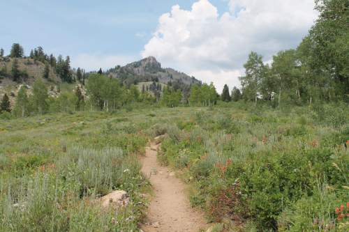
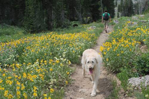
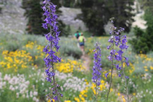
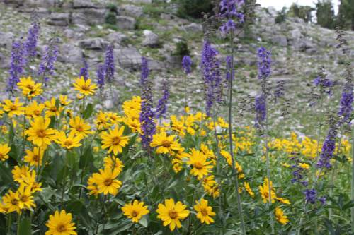
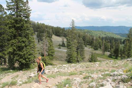
Directions • The trail to Naomi Peak begins just above Tony Grove Lake and parking lot. As you begin the hike through a wildflower-filled meadow, the trail will split early on. Follow the sign, and keep to the left. For about 3/4 of a mile, the trail cuts through meadows of yellow, blue, pink and purple wildflowers blanketing the mountainside. This is the easiest part of the trail.
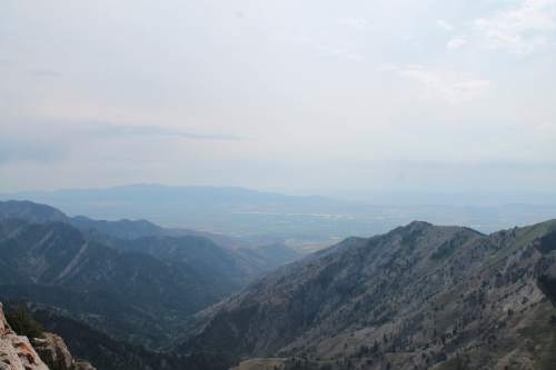
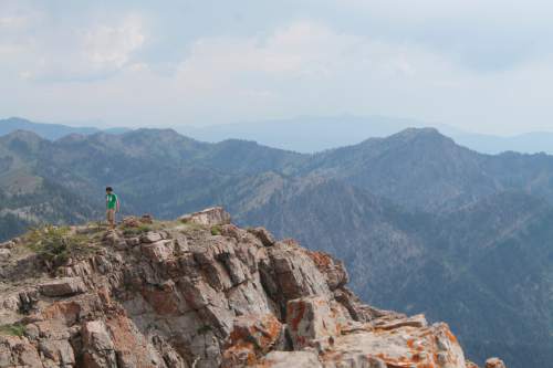
The trail then zigzags up a hill, into an area that is more heavily wooded and more of an uphill climb. Just over two miles into the trail, hikers enter another meadow and dip slightly downhill. Even in August, a small patch of unmelted snow could be seen in the distance while hiking through the meadow. Leave the meadow basin, and begin another set of switchbacks that will get you closer to the peak. At about three miles, the trail reaches the saddle divide of the Bear River Range and a sign tells you that you've reached the boundary of the Mount Naomi Wilderness. The trail will turn left, and hikers will scramble up a rocky trail to reach the highest point. Enjoy the 360-degree view at 9,980 feet before heading down the way you came.
Jessica Miller Destination Naomi Peak Trail
Hiking time About 3-4 hours
Round trip miles 6.3 miles
Elevation gain 1,900 feet
Difficulty Moderate
Trail head restrooms Yes
Dogs allowed Yes
Bikes allowed No