


This is an archived article that was published on sltrib.com in 2017, and information in the article may be outdated. It is provided only for personal research purposes and may not be reprinted.
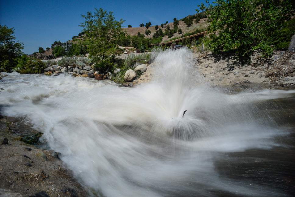
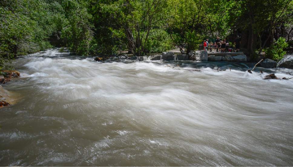
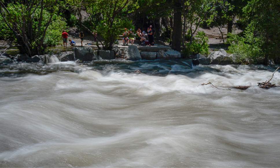
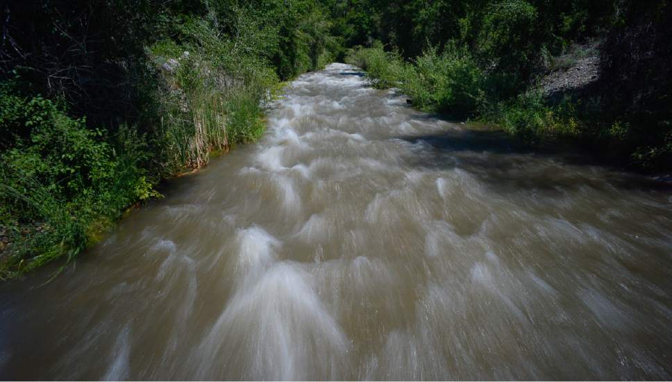
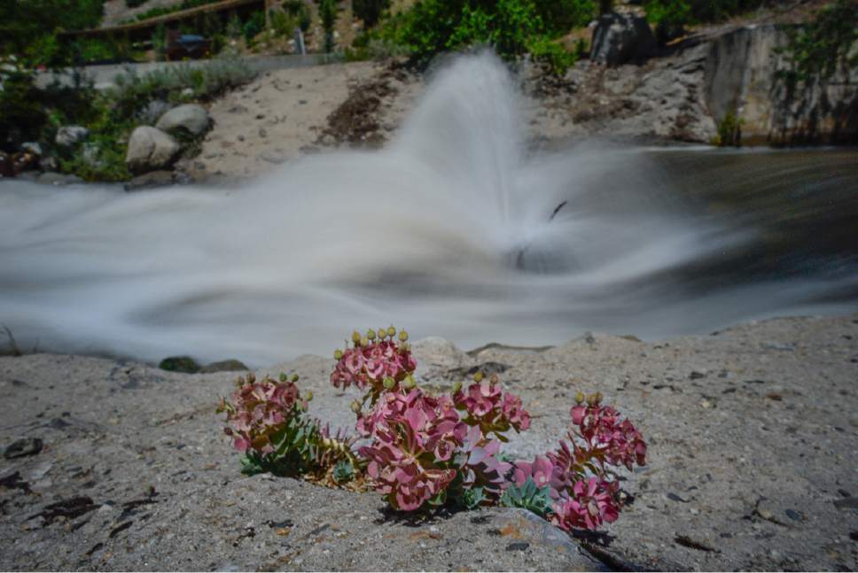
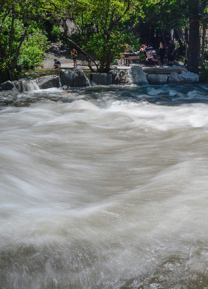
Utahns should avoid most rivers, at least in the northern portion of the state, until the snowmelt-driven surge in water flows dies down in the next few weeks.
Southern Utah rivers have already begun to return to normal — winter snowpack in that region has already melted off, according to the monthly Utah Climate and Water Report from the Natural Resources Conservation Service.
But some snow remains in the mountains of northern Utah, which means its rivers — including the Bear, Logan, Weber and Provo rivers as well as waterways in the Uinta Basin — will continue to rise for another week or two.
"The next two weeks will probably take the rest of the snowpack that we have and bring it down," said Randy Julander, Utah Snow Survey supervisor for the NRCS.
Rivers have already overflowed their banks, but damage to structures and property has been minimal and limited to erosion and minor damage to some cabins, said Brian McInerney, a hydrologist for the National Weather Service in Salt Lake City
Julander attributed the lack of damage to warm weather patterns in March and April, which he said melted a good portion of Utah's abundant snowpack early to prevent too much water coming down all at once.
An ongoing pattern of warm weather followed by cool rainy periods "allowed a big chunk of high elevation snow to melt off at a controlled rate," Julander said.
There is some potential still for property damage, Julander said, but the risk has diminished significantly compared to earlier this spring. The bigger concern, he said, is drowning.
"The water is moving exceptionally fast, and it is brutally cold," he said. "It only takes a second for an adult to get crosswise in that situation, much less children."
This year's runoff is higher than peak flows over the last five to six years, he said. "People aren't used to it," Julander said, "and they don't understand the power that holds."
McInerney said seven people have drowned in Utah since this year's runoff began.
Even though most Utah rivers will reach peak flow within the next two weeks, Julander said the water could remain dangerous throughout the month with the last of the melted snow. McInerney said most rivers would be safe for recreation by the last weekend of June or the first of July.
"Right now, it's just raging out there," he said. "Stay away."
All this water is good news for the state's usable supply — many reservoirs have already reached capacity, and all but the largest, such as Strawberry Reservoir, are expected to fill to the brim this year.
The long-term forecast for this summer looks favorable as well. The National Weather Service's Climate Prediction Center expects most of Utah will experience above-average temperatures through August — but northern Utah, at least, is also expected to get more rain than usual.
How much rain and heat depend on what the monsoon does this July and August, McInerney said, with the possibility that a series of storms out of the Gulf of Mexico could bring significant rainfall and cooler temperatures.
The rain won't necessarily have a large impact on Utah's overall water supply, Julander said. But it may keep usage down — if Utahns are judicious and don't take the phenomenal snow year as a license to waste water. With peak water years seeming to come about five to seven years apart in Utah, he said, residents need to conserve to prevent future shortages.
"People need the mentality, 'Every drop I save this year is one I can use next year,' " he said. "They need to think long term."
Twitter: @EmaPen