


This is an archived article that was published on sltrib.com in 2017, and information in the article may be outdated. It is provided only for personal research purposes and may not be reprinted.
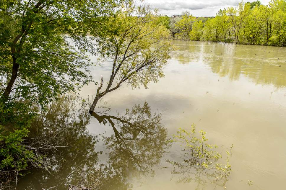
Brigham City • More than two months after flooding soaked Box Elder and Cache counties, Wyatt Brammer still hasn't been able to repair his house.
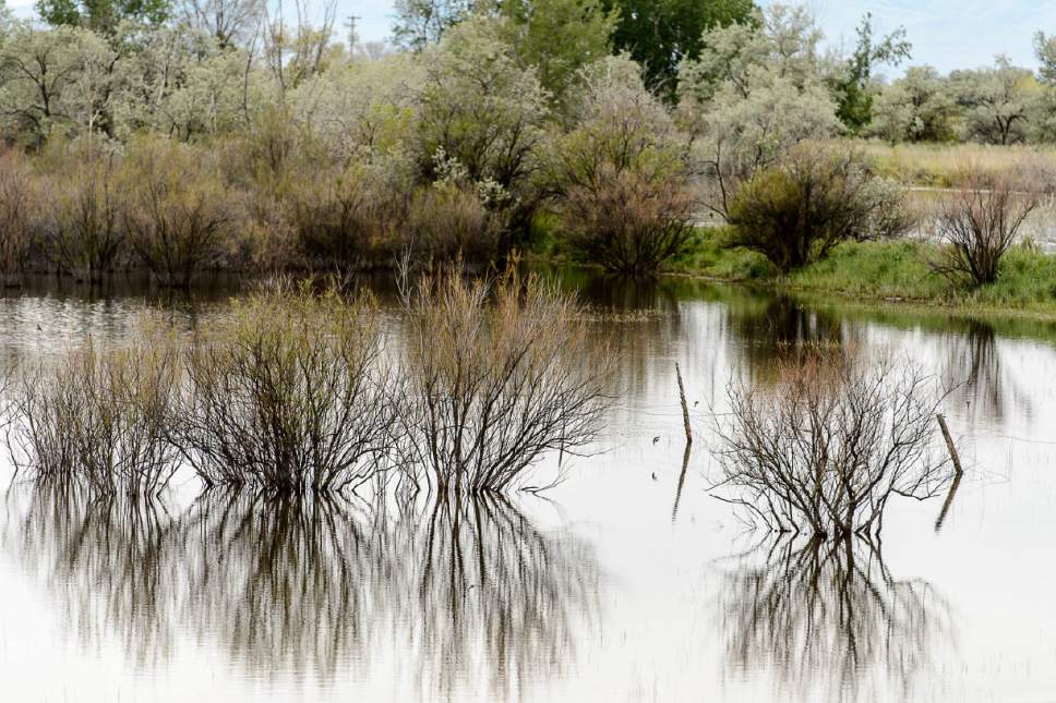
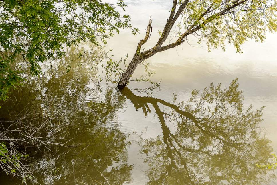
Combined snowmelt and intense rains through February filled Brammer's basement just north of Garland with 33 inches of water, ruining carpet and 4 feet of Sheetrock.
When he moved in three months earlier, he didn't think flooding would be a problem.
"There were plenty of ditches dug and culverts," Brammer said,
"... so I assumed we'd be OK."
And because Brammer doesn't have flood insurance that specifically covers the damage, he is left to foot a bill his appraiser estimated at $17,000.
He's not alone, particularly in Utah, where 4,000 homes — or fewer than 0.005 percent — have flood insurance through the National Flood Insurance Program (NFIP), according to the Federal Emergency Management Agency's senior flood plain specialist Barbara Denver.
"Do I think there's a larger number of people [who] are at risk in the state than the 4,000 we show? Yes," Denver said.
And the number at risk is increasing as homes continue to get built in places where flood maps are outdated and infrastructure is insufficient.
The flood insurance program determines risk by mapping participating areas. In Utah, 216 communities have joined NFIP, meaning residents are eligible to get a federal flood insurance policy rather than going through a private insurance company. But restraints on funding mean some maps haven't been updated in decades.
Ideally, the state would revise the maps every five years, said Jamie Huff, who manages the program for the Utah Division of Emergency Management.
"Unfortunately," she said, "that's not occurring because the analysis to create the maps is extremely expensive."
The process of creating flood insurance-rate maps typically takes three to five years and can cost upward of $500,000, according to Huff.
Most of the maps have been updated since 2003. Another 39 area maps have been updated in roughly the past five years.
But 37 communities haven't been updated since the 1970s or '80s. And some flood plains haven't been mapped at all, Huff said, either because of funding obstacles or community resistance to federal regulation.
"We haven't been able to remap every single portion of the state, so there are areas within the state that still have maps from the '70s and '80s, and there could be data that's even older than that," Huff said. "The flood risk may have changed. There may have been development, and there's definitely better data out there."
In 2003, Congress approved funding to be used to update flood maps. The funding is divided into regions, where the priorities of what projects to pay for are decided.
But, Huff said, "Even if there is a mapped flood plain, floods don't stay between the lines on a map." She encouraged people to get insurance even if they don't live in an area mapped as flood-prone. "Floodwater goes where it wants to go."
The maps are snapshots of time and don't reflect predicted climate trends.
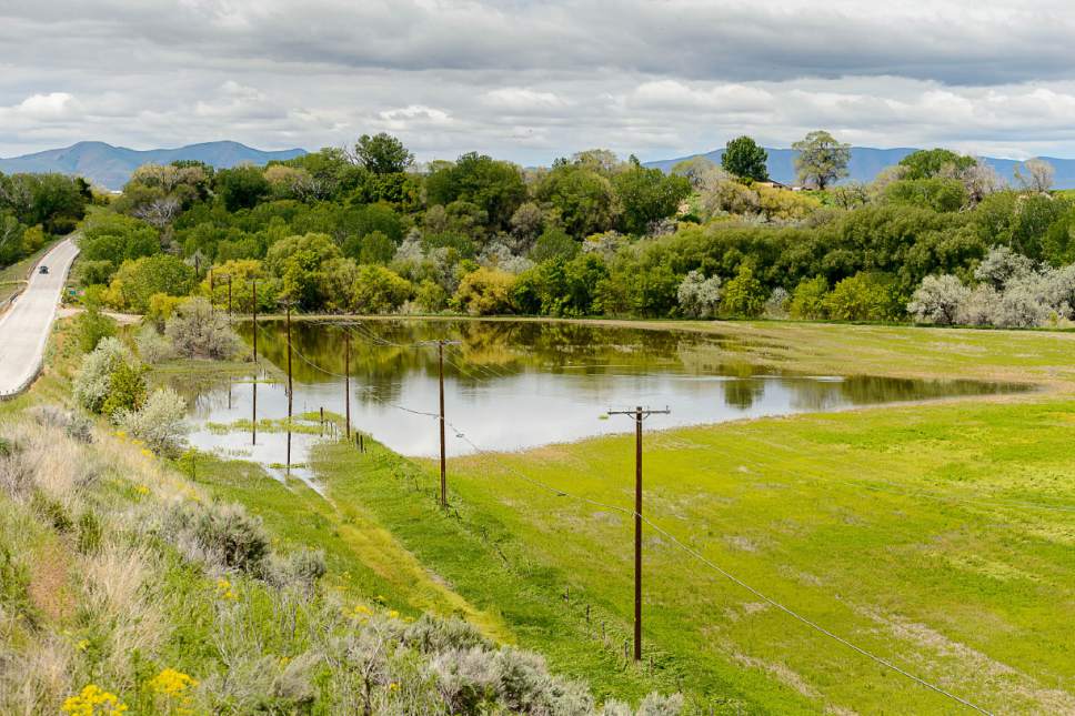
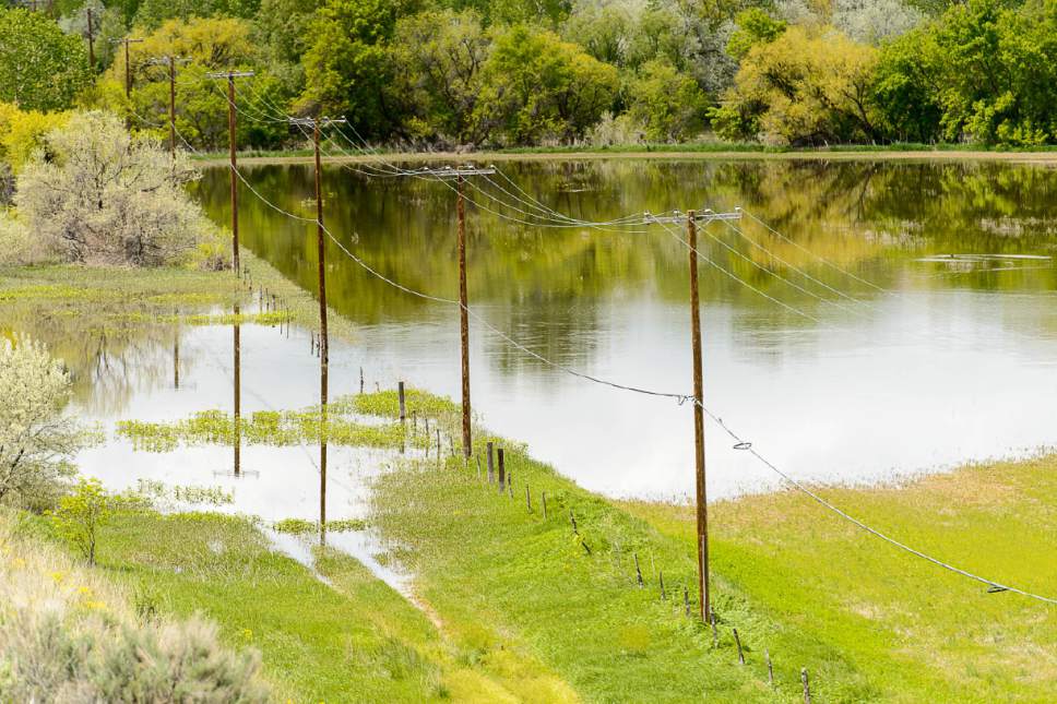
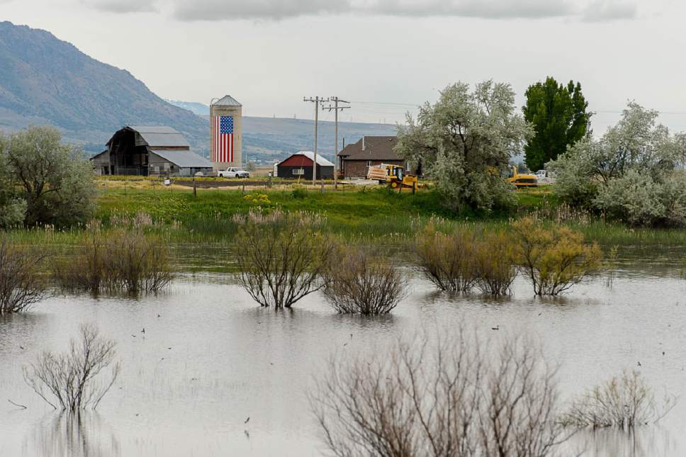
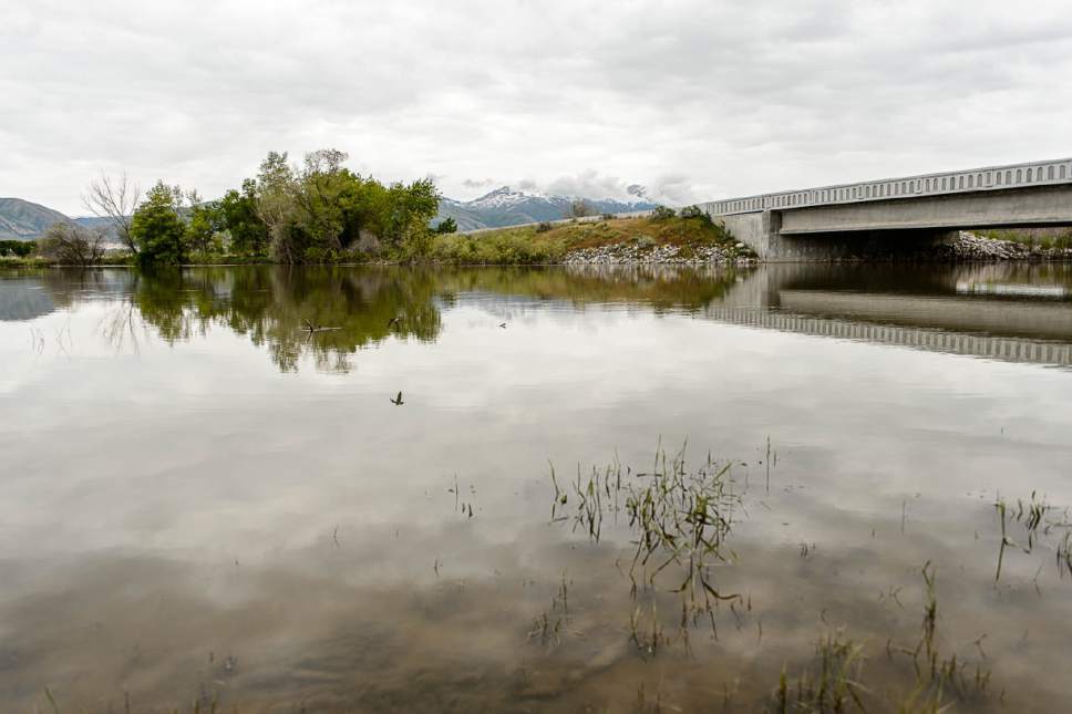
Constantly changing developments have exacerbated the flood risk in northern Utah as infrastructure upkeep and flood risk maps haven't kept up with development growth.
The map of Brammer's neighborhood was last revised in 2010 and has his house just outside of a flood-prone zone. Still, the current infrastructure near Brammer's house doesn't combat floodwater, Brammer said. It's the second time in a decade the area has flooded.
Brammer's basement contained standing water for three days while he waited for pumps to arrive. Because of wet weather since the flood, Brammer hasn't been able to start repairs.
"It's to the point where if I don't see the county working on this area to get the water moved, then it warrants me moving out," he said. "I can't deal with it flooding again."
And, unfortunately, the flood risk isn't over in that area.
February's flooding was a result of melting snowpack and intense rain, a combination that climate data show is likely to worsen, according to hydrologist Brian McInerney.
"The rain events are becoming more intense," McInerney said. "So what used to be OK is, now, not so much."
As water is released from reservoirs to make room for the forecast and the melting snowpack, the excess water flows downstream.
"When you look at the snowpack and the moisture and you project 30 years of climate data on that," McInerney said, "the Logan River is probably our highest probability of flooding."
The National Weather Service is also watching the Bear River and other rivers. So those areas swamped in Box Elder and Cache are bracing for more flooding as water is expected to be released in June.
"In the middle of June, Bear Lake will be full and they'll divert all that water to us," said Box Elder County Commissioner Stan Summers. "That's when we figure that the low-lying lands will start to flood again."
Twitter: @tiffany_mf —
How to buy flood insurance
The U.S. Department of Homeland Security has a website at FloodSmart.gov to answer questions about who needs flood insurance and where to buy it. You can also contact your insurance agent. The average policy costs $700 a year.