


This is an archived article that was published on sltrib.com in 2017, and information in the article may be outdated. It is provided only for personal research purposes and may not be reprinted.
Much of northern Utah began thawing after a bitter cold weekend, and the warmer weather had some preparing for rising rivers and the prospect of flooding.
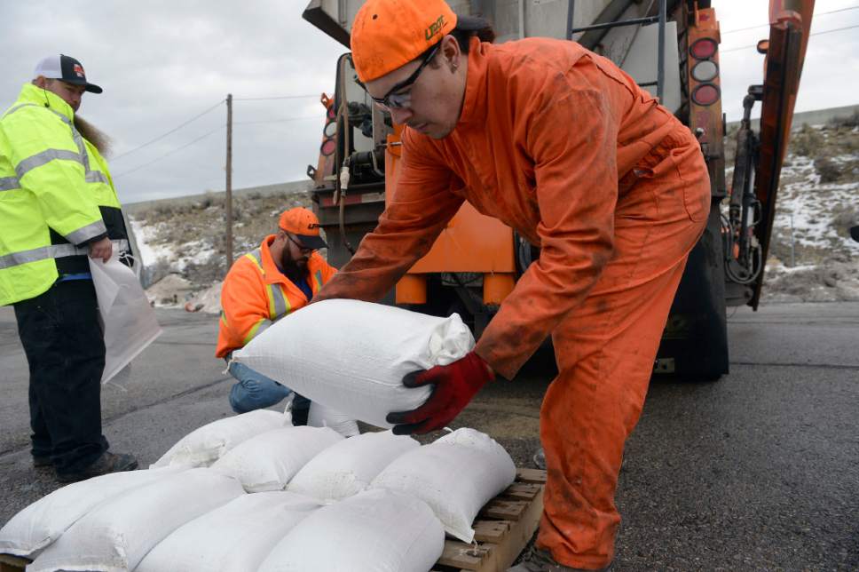
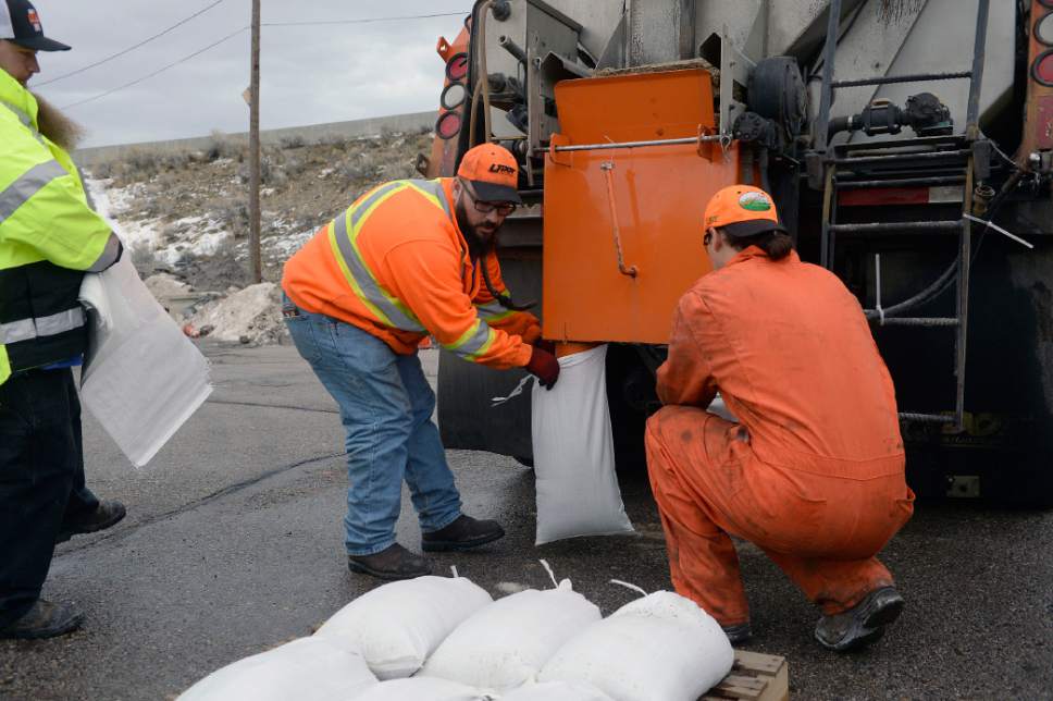
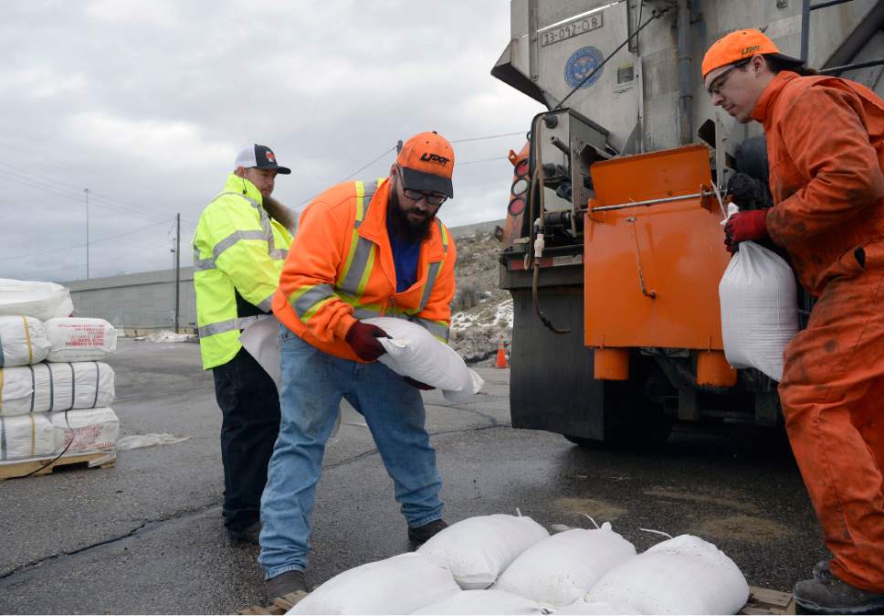
Utah Department of Transportation maintenance workers spent Monday morning filling bags full of sand, which department spokesman John Gleason said was a precaution in case of flooding.
Forecasters don't expect flooding in northern Utah this week, though the National Weather Service said rain falling on snow Monday could cause rivers to run high and some "nuisance flooding" in areas of Cache County and the Weber Basin that are prone to flooding.
Gleason said even if the agency doesn't use any of the 4,000 bags filled in Salt Lake County during the mix of rain and snow to come through Wednesday night, it will keep them on hand in the event of future flooding.
"If we don't use these bags today, then we have them on reserve, and it's always good to be prepared because there's a good likelihood in the future that we will put them to use," he said.
Rain totals in the Cache County area ranged from half an inch to 1.7 inches Monday, and Eden in the Wasatch Mountains received just over 2 inches.
In southern Utah, portions of Kane and Washington counties were under flood warning through Monday afternoon.
The Virgin River swelled in towns around Zion National Park — where officials closed The Narrows and all slot canyons — following nearly 2 inches of rain, according to the National Weather Service.
While the soggy Salt Lake Valley faces rain and snow this week, local ski resorts are anticipating up to 3 feet of snow.
Meanwhile, Powder Mountain ski resort in Weber County was forced to close on Monday due to high winds and an unstable snowpack, while some other ski resorts delayed lift openings amid strong wind gusts.
The NWS recorded 10 inches of snow on Powder Mountain and 11 inches at Brighton Crest.
And, in addition to a new round of warnings about avalanche danger in the backcountry, meteorologists also cautioned people to stay clear of steep rooftops where the unusual combination of conditions could cause snow slides.
The risk for avalanches in areas near Logan, Ogden, Salt Lake City, Provo and the Uintas were "high" Monday night by the Utah Avalanche Center, while Skyline and Moab had a "considerable" risk and Abajo had a "moderate" risk.
Schools were canceled in far northwest Box Elder County following a snow-and-freezing-rain advisory for rural areas.
— The Associated Press contributed to this story.