


This is an archived article that was published on sltrib.com in 2017, and information in the article may be outdated. It is provided only for personal research purposes and may not be reprinted.
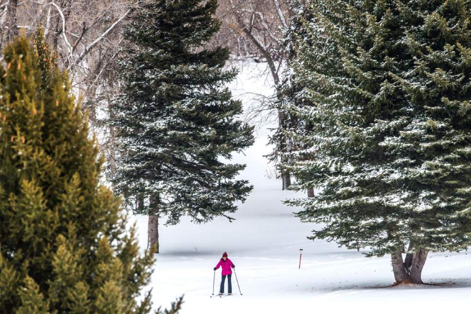
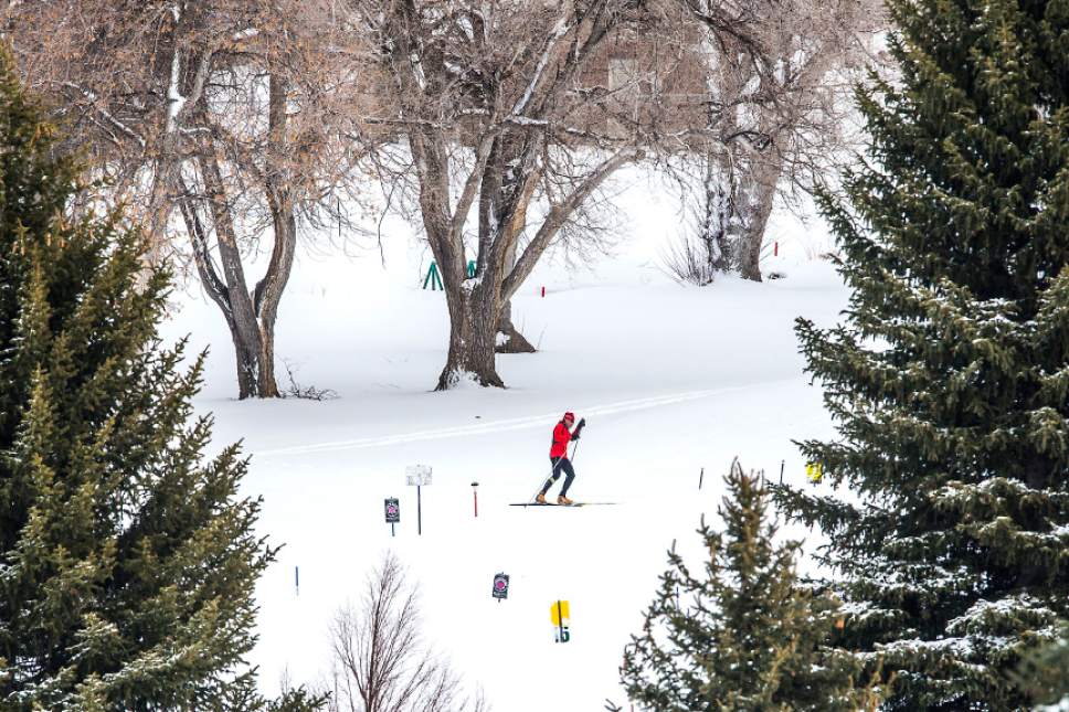
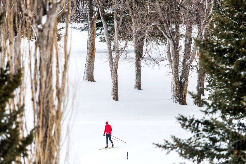
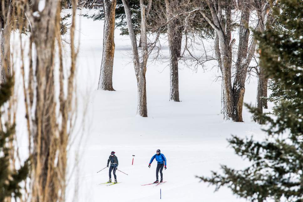
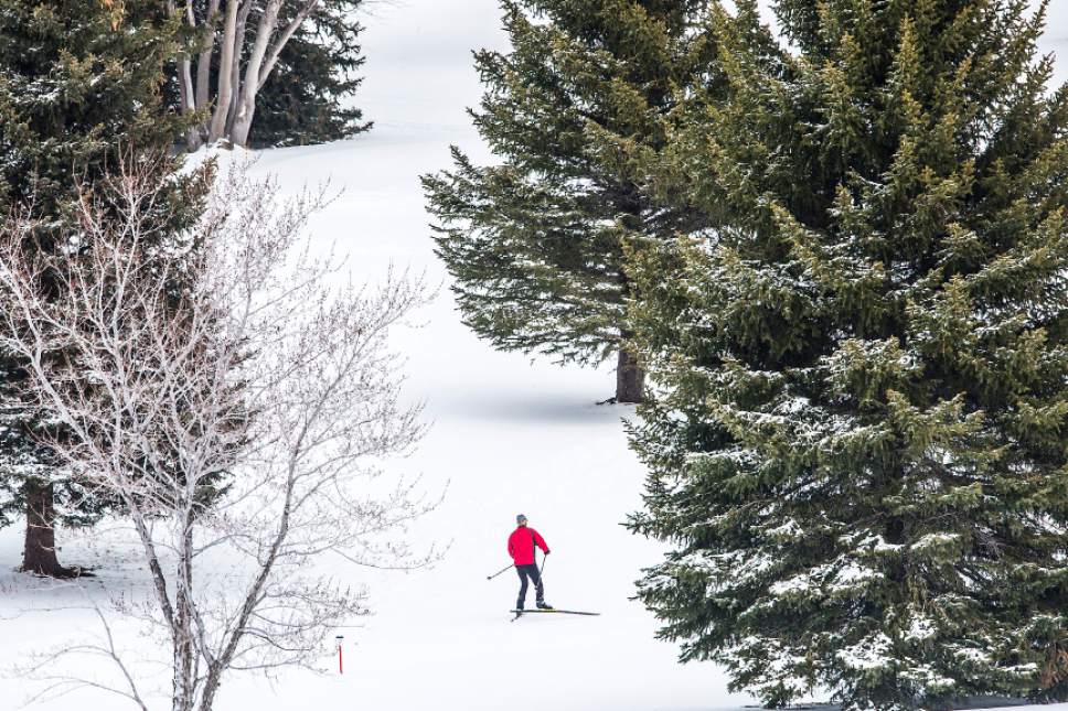
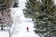
Northern Utahns should brace for another snowstorm expected to begin late Saturday, following a week of periodic dumps that left roadways dangerous and schooldays canceled.
Areas north of Salt Lake City will receive the brunt of the weekend storm, consisting of snow and freezing rain, through Monday, according to the National Weather Service. Strong wind gusts are also expected to impact Utah mountains.
A winter storm warning is already in effect for most areas in north-central Utah, while a winter storm watch has been issued for the northeastern region.
The Utah Avalanche Center warns of "considerable" risk of backcountry slides in the Uintas and Skyline region, while conditions remain "moderate" near Logan, Ogden, Salt Lake, Provo, Moab and Abajo.
Cache County residents should beware of outside air today, as the Utah Division of Air Quality classifies conditions as "orange," or unhealthy for sensitive groups. Air quality in Salt Lake, Davis, Utah, Weber and Box Elder counties is classified as "yellow," or moderate, and conditions in Tooele, Washington, Carbon, Duchesne and Uintah counties are "green," or good.
Residents in Cache County can expect a 50 percent chance of snow in the afternoon Saturday, with highs reaching zero to 5 degrees. The chance for snow is forecast to increase to 80 percent at night, with 1 to 4 inches of accumulation expected. Sunday will bring more snow with periods of light freezing rain. Again, 1 to 4 inches of accumulation is expected, though temperatures are expected to climb into the mid-20s. The pattern of light freezing rain alternating with snow is expected to continue through the night.
Salt Lake and Tooele valleys will have a 40 percent chance of snow Saturday, the NWS predicts, with highs near 20 degrees. The area should also anticipate periods of light freezing rain alternating with snow Saturday night with a 70 percent chance of precipitation, but there will be little to no accumulation. Lows overnight will also be near 20. Sunday is forecast to bring similar conditions with highs in the upper 30s and winds blowing from about 20 to 30 mph.
Southern Utah should expect a 20 percent chance of rain Saturday afternoon with highs in the lower 40s. There will be a slight chance of rain in the evening and a 50 percent chance of rain after midnight. Sunday will be mostly cloudy with a 20 percent chance of rain and highs climbing into the lower 50s.
For more detailed forecast information, visit The Salt Lake Tribune's weather page.
Twitter: @mnoblenews