


This is an archived article that was published on sltrib.com in 2017, and information in the article may be outdated. It is provided only for personal research purposes and may not be reprinted.
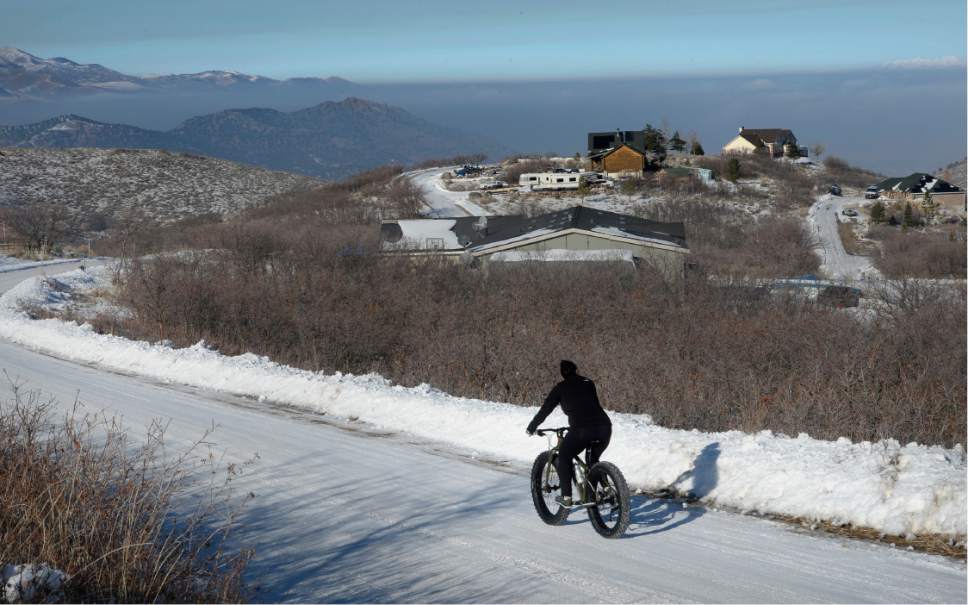
Utah will start the new year with a fresh blanket of snow.
Flurries are expected Sunday along the Wasatch Front, with at least an inch falling overnight, according to the National Weather Service. Snow is expected to continue Monday, with Salt Lake City forecast to receive 2 to 3 inches during the storm. Ogden may receive up to 6 inches during the storm; Brigham City up to 5 inches; and 3 to 5 inches in Provo, where snow is expected to persist into Monday night.
Heavy snow was forecast for the mountains, with 7 to 14 inches expected in Alta by Monday morning. Snowbasin Ski Resort was projected to receive up to 8 inches, as was Park City.
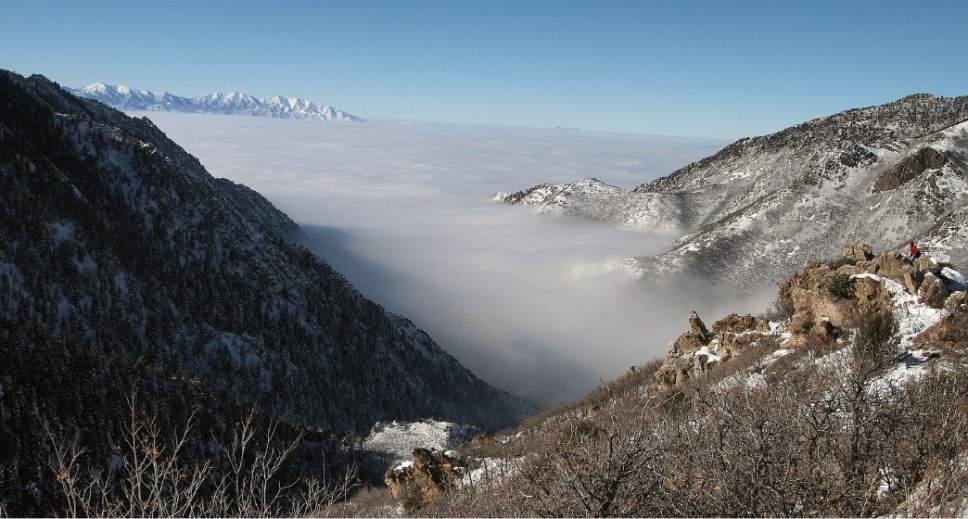
However, air quality was expected to remain poor in the valleys through Sunday, with an "orange" rating in Salt Lake, Davis, Weber, Cache, and Utah counties.
Pollution will remain "unhealthy for sensitive groups" in those counties, and mandatory burn restrictions were in place there, as well as in Box Elder County, where pollution was given a "yellow," or moderate, rating. Solid burning fuel devices and open burning were forbidden. In Uintah County, where air quality also was moderate, residents were asked to voluntarily restrict their burning.
Air quality was expected to improve by Monday, with low air pollution levels forecast statewide following the storm.
In southern Utah, rain and fog Sunday are expected to give way to light snow as temperatures drop overnight. Cedar City was projected to get less than 2 inches of snow, with rain in St. George and rain and snow in Moab.
A second storm may arrive in the state late in the week, with possible snow accumulation, especially in central and southern Utah, according to an NWS weather advisory.