


This is an archived article that was published on sltrib.com in 2016, and information in the article may be outdated. It is provided only for personal research purposes and may not be reprinted.
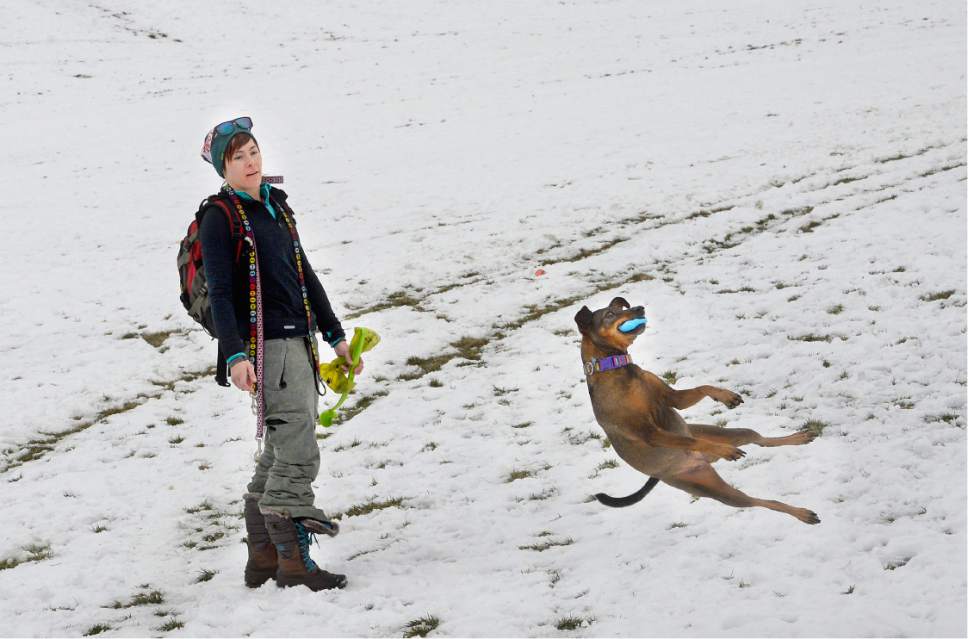
After a cloudy, chilly Saturday, the new week begins with similar temperatures and an increased chance for precipitation.
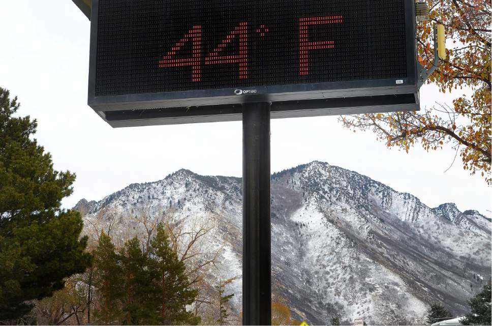
Salt Lake City residents should expect highs in the lower 40s Sunday with a slight chance of rain in the evening and a 50 percent chance of snow after midnight as lows drop into the upper 20s.
Monday, skies will continue to be shrouded with clouds with a 30 percent chance of snow. Highs will reach the lower 30s, and south winds blowing between 10 and 20 mph are expected to shift to the northwest in the afternoon. Monday night will be mostly cloudy with lows near 20 degrees. The chance for snow that night will be 40 percent.
In southern Utah, residents should expect partly cloudy skies for the next few days. Sunday highs will reach the mid-50s before dropping into the lower 30s overnight. Monday will be slightly warmer with highs in the upper 50s, but lows will drop near 30 degrees at night.
Air quality is expected to be "yellow," or moderate, for Salt Lake, Davis, Utah and Box Elder counties, while the rest of the state will experience "green," or good, air levels, according to the Utah Division of Air Quality.
Areas along the Wasatch Front are expected to have a "moderate" risk for potential backcountry snowslides, the Utah Avalanche Center shows, while resorts in central Utah have "low" avalanche danger.
For more detailed forecast information, visit The Salt Lake Tribune's weather page.
Twitter: @mnoblenews