


This is an archived article that was published on sltrib.com in 2016, and information in the article may be outdated. It is provided only for personal research purposes and may not be reprinted.
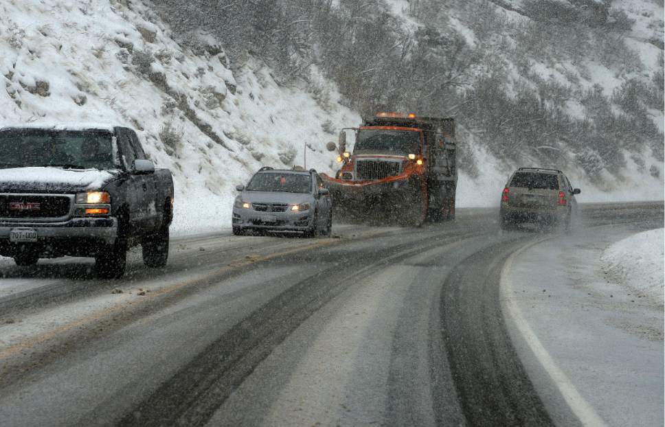
Travelers should beware of icy roads and snowy conditions, as well as the possibility of backcountry avalanches, as the week begins.
The National Weather Service has issued a winter-storm watch for the Salt Lake and Tooele valleys through Monday evening, with snowfall lasting through early Tuesday morning. The worst road conditions are expected to occur Monday and early Tuesday morning and likely will affect morning and evening commutes.
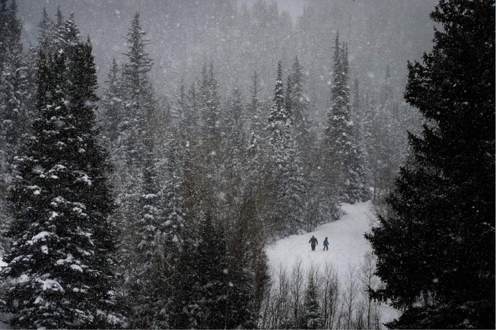
The Utah Avalanche Center said the risk for backcountry snowslides is expected to rise to "high" Monday in the state's northern mountains, including the Wasatch Range and the Uinta Mountains. Both human-triggered and natural avalanches will be likely, and people should stay off of and out from under slopes steeper than 30 degrees, the center said.
The Sunday forecast for Salt Lake and Tooele counties calls for lows dipping to about 30 degrees with a chance of snow at 60 percent.
On Monday, snow is likely in the morning and expected — with a 90 percent chance — in the afternoon. The valley floor may see 2 to 4 inches, with 4 to 7 inches accumulating the benches. Winds will remain steady throughout the day.
Snow is expected to continue Monday night as lows dip into the upper 20s.
In St. George, Monday will be partly cloudy with a 20 percent chance of rain and highs of about 50 degrees. There will be a 20 percent chance of rain overnight, with lows dropping again to about 30 degrees.
For more detailed forecast information, visit The Salt Lake Tribune's weather page at http://www.sltrib.com/weather.
Twitter: @mnoblenews