


This is an archived article that was published on sltrib.com in 2016, and information in the article may be outdated. It is provided only for personal research purposes and may not be reprinted.
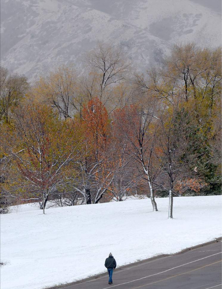
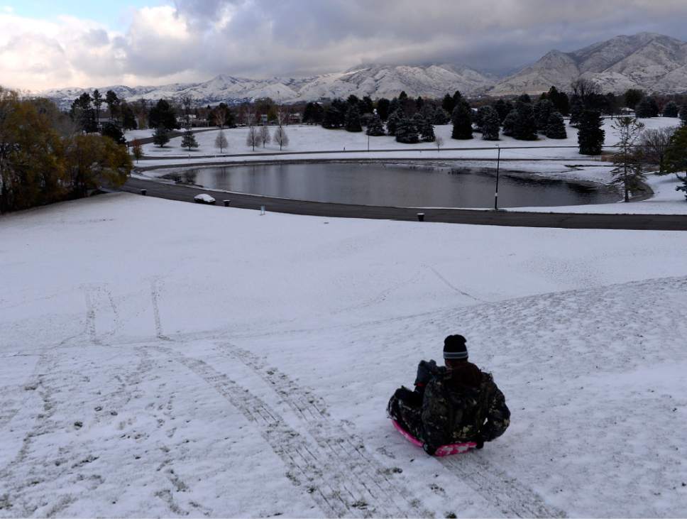
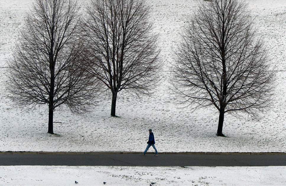
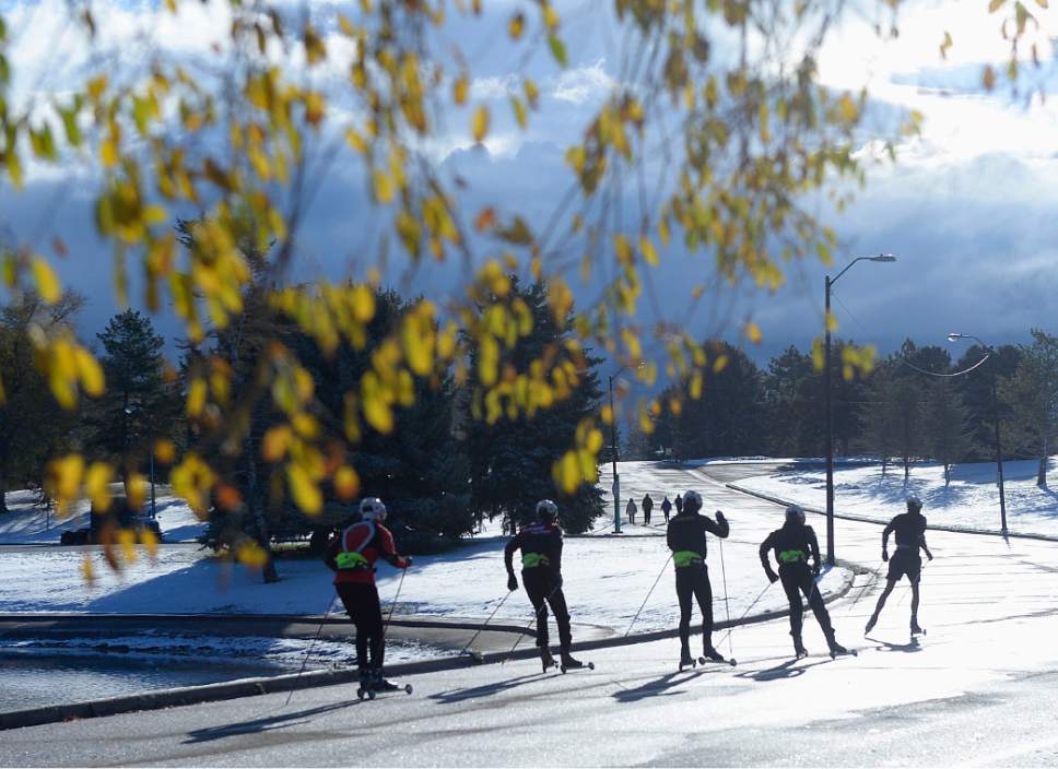
Winter-like weather, having begrudged a record-setting delay, descended on northern Utah with gusts of icy, snowy vengeance Thursday.
Yet, Salt Lake City was still without its first frost of the cold season on Thursday, according to the National Weather Service. That's likely to change as Thursday becomes Friday. Temperatures are predicted to dip into the 20s.
Still, Wednesday's lack of frost set a new record; previously, the latest freeze on record was Nov. 16, 1921.
And drivers slid anyway. As traffic built on the region's interstates, so did public safety dispatchers call logs for weather-related traffic accidents. No life-threatening injury crashes were initially reported, but dozens of collisions and slideoffs added to the morning's vehicular headaches.
The Utah Highway Patrol had recorded 35 accident calls by 8 a.m. on interstates 15, 70 and 80, as well as several state highways. Salt Lake Valley emergency dispatchers had taken two dozen crash reports during the same period.
In Weber County, 14 vehicles were involved in a chain-reaction collision that began when a driver lost control on a bridge near 700 West and Riverdale Road and hit a barrier wall. No serious injuries were reported.
The dreaded Great Salt Lake Effect — its warm waters causing meteorological havoc when mixed with colder air aloft — boosted snowfall in portions of western Salt Lake and eastern Tooele counties.
Cottonwood Heights had 5.5 inches of snow; Tooele already had topped 5 inches; Sandy and West Jordan had 3 inches on the ground, Herriman 2.5, and West Valley City was nearing 2 inches. Salt Lake City International Airport, however, reported less than half an inch of snow.
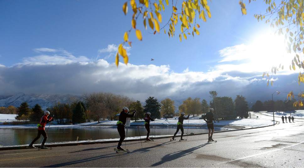
By 9 a.m., skies began to clear as distant, but still bright Old Sol dissipated the storm clouds. Clear and sunny skies were expected Friday as well, though temperatures will struggle to reach the mid-40s along the Wasatch Front.
Other Wasatch Front communities also awoke to a blanket of white, too. Bountiful was at 4 inches, as was Alta, and Logan had an inch, with more expected as the storm spread to the north, east and south.
None of the state's ski resorts had yet opened, and only two of them — Alta Ski Area (7 inches) and Brighton (5) — reported fresh snow from the storm.
That's more like it. pic.twitter.com/Cbfq5Nbnd8
— Snowbird (@Snowbird) November 17, 2016
Utah's mountainous spine — stretching from Logan south through Ogden, Salt Lake City, Provo, Manti and Cedar City — as well as St. George, Bryce Canyon, and eastern Utah's Uintas, Moab and Monticello regions — was under a Winter Weather Advisory, but that expired 9 a.m. Thursday.
The National Weather Service generally reported snowfall of 1-3 inches in the northern Utah valleys along with daytime highs in just the upper-30s, with a sunnier, clearer Friday bringing temperatures in the low- to mid-40s and overnight lows in the mid-20s. Saturday will be warmer, in the mid-50s, after a dawn in the mid-30s.
Snowfall of 4 inches, higher in some higher elevations, fell Thursday in the northern and central mountains.
Southern Utahns dodged the storm with Thursday's highs in the low-50s ahead of upper-50s and upper-60s expected forecast for Friday and Saturday.
Not only could you see your breath in the wintry conditions, but the Utah Division of Air Quality assured us that filling your lungs with the crisp, chilled air was OK; "green," or healthy air quality prevailed statewide through the remainder of the week.
For more extensive forecast information visit the Tribune's weather page at: http://www.sltrib.com/news/weather
remims@sltrib.com
Twitter: @remims