

This is an archived article that was published on sltrib.com in 2016, and information in the article may be outdated. It is provided only for personal research purposes and may not be reprinted.
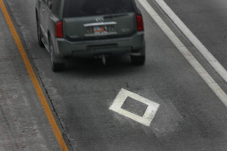
Freeway signs now may show the mileage to upcoming towns, or what hotels and restaurants are at the next exit. Soon, new signs also will show where motorists can recharge electric cars or buy alternative fuels such as propane and natural gas.
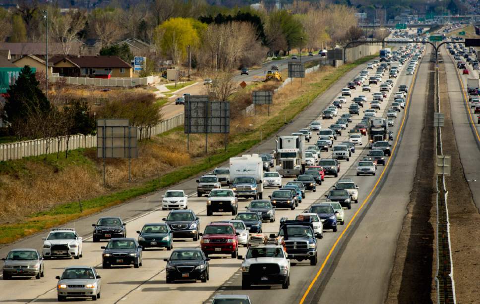
Large sections of Interstates 15 and 80 in Utah were named this week to be part of 55 routes that will start "alternative fuel" corridors for easy refueling of those vehicles that span 35 states, and are a collective 85,000 miles long.
U.S. Transportation Secretary Anthony Foxx said alternative-fuel vehicles are key to a national goal to decrease greenhouse emissions by 80 percent by 2050. "We have a duty to help drivers identify routes that will help them refuel and recharge those vehicles and designating these corridors on our highways is a first step."
Federal Highway Administrator Gregory Nadeau said identifying where such fuels may be purchased will begin "a conversation with stakeholders about developing and implementing a vision to enable coast-to-coast travel using alternative fuels."
In Utah, several freeway sections were deemed "sign ready," where new signs soon will direct drivers to already operating fueling sites. They include, for different types of vehicles:
• Electric cars: I-15 from Ogden to Springville, and I-80 from Salt Lake City to Park City. Such corridors are designed to have recharging stations within 50 miles of each other, and no farther than five miles off the freeway.
• Compressed natural gas (CNG) and liquefied natural gas (LNG): All of I-15 in Utah. Those corridors are designed to have CNG stations within 150 miles of each other, and LNG stations within 200 miles of each other.
• Propane: I-15 from Ogden to Springville, and I-80 from Salt Lake City to the Nevada border. Refueling stations in such corridors are supposed to be no more than 150 miles apart.
Further information about the national routes is available at http://www.fhwa.dot.gov/environment/alternative_fuel_corridors/maps/.