

This is an archived article that was published on sltrib.com in 2016, and information in the article may be outdated. It is provided only for personal research purposes and may not be reprinted.
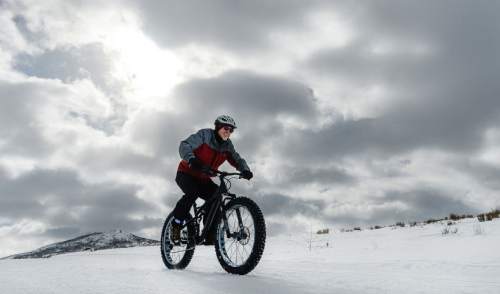
Northern Utah gets a midweek break from the snow, albeit a very cold one, before the next cycle of winter storms bears down on the Wasatch Front later this week.
As stiff, drift-creating overnight winds eased, a Winter Weather Advisory was allowed expire at 11 a.m. Tuesday for an area encompassing the Wasatch Plateau, Book Cliffs, San Rafael Swell, and the state's central and southern mountains.
However, the region was not getting a break from frigid temperatures. The Wasatch Front looked for anemic daytime highs to continue in the low- to mid-20s and overnight lows in the mid-teens under Wednesday's partly cloudy skies. The snow was expected to return Thursday morning, the National Weather Service predicted.
Southern Utahns expected highs in the low-40s, under sunny skies, on Wednesday — a couple degrees warmer than Tuesday's forecast. Overnight lows will be in the low- to mid-20s.
The Utah Avalanche Center rated the risk for potentially deadly backcountry snowslides at "considerable" for Uintas, while the remainder of the state's mountain slopes were considered to be "moderate" for avalanche danger.
The Utah Avalanche Center began Tuesday by rating the risk for potentially deadly backcountry snowslides at "considerable" for all th state's mountain districts.
The Utah Division of Air Quality graded all monitoring districts at "green," or healthy for air quality through the midweek.
For more extensive forecast information, visit The Salt Lake Tribune's weather page at: http//www.sltrib.com/weather.
Twitter: @remims