


This is an archived article that was published on sltrib.com in 2015, and information in the article may be outdated. It is provided only for personal research purposes and may not be reprinted.
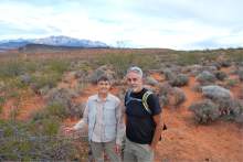
St. George • The northern edge of a fast-growing metropolitan area in southwestern Utah is a study in contrasts, marking a boundary between the urban and the natural, gray asphalt and red dust.
Here, subdivisions bump against a desert expanse spreading unbroken all the way to the Pine Valley Mountains.
For the past two decades, Washington County has maintained a preserve here, since incorporated into the Red Cliffs National Conservation Area (NCA), for the federally protected Mojave desert tortoise. Now a cantankerous debate has erupted over a thoroughfare local officials want to cut through the NCA.
The Bureau of Land Management is wrapping up long-anticipated management plans for Red Cliffs, which holds 44,859 acres of public land, and a new NCA in Utah's southwestern corner, called Beaver Dam Wash, covering 63,480 BLM acres.
With the recent release of a draft Environmental Impact Statement, county officials are steaming mad with what they see as a lack of "balance" in the various alternatives of the plan.
Even worse, the BLM's "preferred" alternative does not feature the so-called northern transportation corridor, which officials say is needed to accommodate future traffic loads and alleviate pressure on St. George's roads.
"It would leave us with only one way to get to the east side of county, and that's through the city," said Ivins Mayor Chris Hart. "The modeling shows within 15 years the transportation system fails completely without the northern corridor being put in place."
The federal government agreed to the corridor as part of an agreement that established the national conservation areas in 2009, according to the Utah Public Lands Policy Coordinating Office.
Local activists and federal officials dispute any promise was made to authorize such a corridor, which they say would defeat the purpose of the tortoise preserve.
"Even if the tortoise wasn't here, the making of an NCA has a certain meaning, regardless of endangered species," said Tom Butine, president of Citizens for Dixie's Future. "They are to be protected in a natural state, and a road is not a natural state."
Template for tension • In 2009, when President Barack Obama signed the Omnibus Public Land Management Act into law, the Washington County process was widely hailed as a pathway through Utah's thicket of conflict that confounds land-use decisions. The bill designated 264,000 acres of wilderness in 14 areas, mostly in and around Zion National Park.
"Having set the template for the way it ought to be done, I would very much like to take it from just the one county and see if we can't find a sensible resolution throughout all of Utah," said then-Sen. Bob Bennett, a sponsor of the measure.
This template has yet to bear much fruit elsewhere in Utah, however, and the Utah Republican was thrown out of office the following year by the state's GOP delegates, who refused to nominate him for re-election.
State Rep. Mike Noel, R-Kanab, recently cited the Washington County flap to explain his refusal to endorse the ongoing public-lands process led by Utah GOP Congressmen Rob Bishop and Jason Chaffetz.
Meanwhile, local officials say the management-plan alternatives impose onerous restrictions on recreation and other uses of the conservation areas, which include a multispecies management zone in Bull Valley. And the National Rifle Association has come out against the plan alternatives that would prohibit target shooting in some or all of Beaver Dam Wash.
Riding off-highway vehicles, dispersed camping, geocaching, fossil collecting, flying remote-controlled aircraft, and equestrian competition could be eliminated, local officials say. They are also worried the BLM will acquire water rights and bar the export of water from the NCAs.
But such fears are overblown, according to Red Cliffs NCA manager Dawna Ferris-Rowley.
"People aren't taking the time to read it for themselves," she said. "They are getting themselves all stressed out over things that aren't there."
Grazing offers a case in point. The county contends that the BLM plan would reduce grazing by nearly half, again in violation of a promise that cattle will be allowed to remain on conservation lands.
In reality, however, the plan would reduce currently permitted levels to align with actual stocking levels. The BLM does propose retiring grazing permits that are no longer being used.
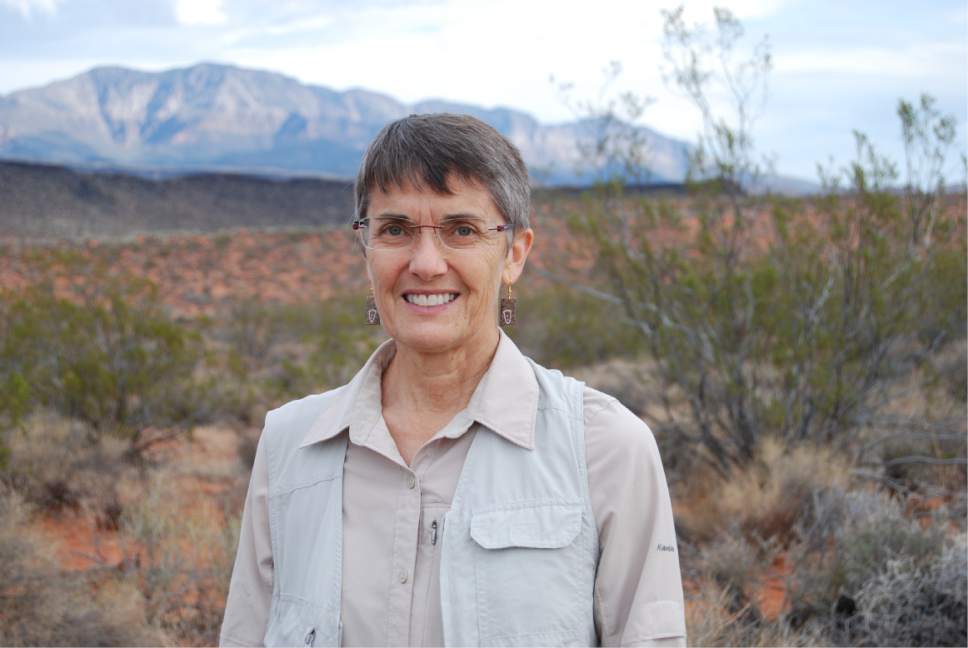
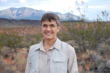
Susan Crook, conservation program manager for Citizens for Dixie's Future, contends that though grazing may be a crucial link to the past, it is now economically irrelevant. The BLM plans rightly focus on responsible outdoor recreation, she said, with plans for facilities in high-use areas and confining motorized use to designated routes.
Not the end of the road • But the transportation corridor across Red Cliffs is by far the sharpest sticking point.
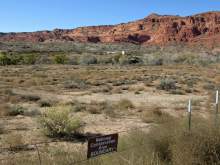
This NCA sits where the Colorado Plateau, Great Basin and Mojave Desert merge in a transition zone filled with unusual plants such as dwarf bear-poppy and Shivwits milkvetch, as well as diverse wildlife. The reserve covers the northeasternmost corner of the desert tortoise's occupied range, where the highest concentrations of these elusive slow-moving creatures can be found, according to Larry Crist, who supervises the U.S. Fish and Wildlife Service's Utah field office.
Washington County Commissioner Alan Gardner is incensed that the BLM's preferred alignment connects State Route 18 with Interstate 15 near Leeds, 14 miles northeast of St. George.
"We are limited where we can even put roads," Gardner said. "The objective is to get traffic from east side to west side. Shooting it up to Leeds doesn't put in a traffic pattern anyone would use."
The county's preferred alignment would connect with the new Red Hills Parkway on the west side of the reserve and run several miles east to the Washington exit on I-15.
A road to Leeds would be far costlier to build and would see limited traffic, Gardner said, whereas the county's proposed route would see daily traffic loads of 32,000 in 10 years.
The county is merely insisting the BLM identify a location for the road. Inclusion in the management plan would not guarantee such a corridor would be developed.
"There are a million steps that would still have to happen," Gardner said.
County-hired consultants in 2012 produced a study that concluded a road through habitat could actually enhance habitat by acting as a firebreak. The report said culverts would enable tortoises to get across the roads by going beneath them, although wildlife experts say evidence has yet to indicate tortoises use culverts for anything other than cover.
Bill Mader, former manager of the county-run Red Cliffs Desert Preserve, rejected the county's claims, arguing the road would hurt tortoise and other wildlife and wreck viewsheds purchased through millions in taxpayer dollars. In an Aug. 12 letter to Sen. Orrin Hatch, R-Utah, he contended the tortoise Habitat Conservation Plan, which established the reserve, excluded this corridor.
The point of the agreement, which he helped finalize in 1996, was to enable development on tortoise habitat elsewhere in the county in exchange for protecting habitat inside the reserve.
"Now that Washington County has developed most of the tortoise habitat outside the reserve, it wants to renege on the agreement it signed and, it would appear, fabricate a storyline that has no basis in fact," wrote Mader, now a professor at Navajo Technical College. He penned the letter to object to Hatch-sponsored legislation that would mandate the BLM to authorize the road.
That legislation didn't get much traction, but Washington County enjoys the backing of state leaders who say the route is "part and parcel" of the 2009 lands bill that set aside Red Cliffs.
The draft management plans are open for public comment until Nov. 16.
Twitter: @brianmaffly