This is an archived article that was published on sltrib.com in 2015, and information in the article may be outdated. It is provided only for personal research purposes and may not be reprinted.
Utah was on the cusp of yet more record-setting autumn heat as it entered the midweek, but the days of abnormally balmy weather were to fade by the week's end.
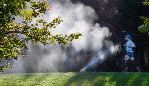
Along the Wasatch Front, daytime highs on Wednesday hit a record high for the day in Salt Lake City of 82 degrees. The previous record for Oct. 14, of 81 degrees, was set in 1958.
Thursday's forecast called for highs in the mid- to upper-70s, with overnight lows in the low- to mid-50s.
However, the northern Utah region's cloud cover was to build come Friday and give way to rain by Saturday, with highs those days in the low- to mid-70s.
After Wednesday's highs in the upper-80s to low-90s, southern Utahns expected daytime temperatures to dip 5-7 degrees on Thursday, with rain coming in the evening hours and continuing Friday.
The Utah Division of Air Quality rated air quality statewide as "green," or healthy, through the end of the week.
The Intermountain Allergy and Asthma website listed only sagebrush and mold as "high" on its pollen index as of Wednesday.
For more extensive weather forecasts, visit the Tribune's weather page at http://www.sltrib.com/weather/.
Twitter: @remims


