


This is an archived article that was published on sltrib.com in 2015, and information in the article may be outdated. It is provided only for personal research purposes and may not be reprinted.
Saturday and Sunday were a lot like last weekend, with shorts and flip-flops, Frisbees and Rollerblades, picnics and barbecues — ah, springtime in the Rockies.
But don't put away the winter boots and the snow shovel quite yet.
Record-breaking high temperatures have graced February — it hit 68 degrees in Salt Lake City on Feb. 7 and 8 — and most of December and January was mild, as well.
The question: Will it last? Or will March come in like a lion and live up to its reputation as a blustery snow maker?
At this point, winter is difficult to imagine. But the National Weather Service says winter is not over, although 60s are again in the forecast.
And there is more evidence of an early spring. Tennis players have abandoned the indoor bubbles at Liberty Park and the Dee Smith Center. "I've got the nets up and they're playing outside," said tennis coach Mike Martines. "I can't believe it."
Normally, outdoor play doesn't begin until April, he said. "This never happens."
And the air they're breathing isn't so bad either, relatively speaking. The combination of no snow on the valley floor and a lack of frigid air has yielded an inversion/air pollution season that is markedly better than most along the Wasatch Front, according to Donna Spangler at the Utah Division of Air Quality.
Salt Lake County has seen 23 mandatory action (no wood burning) days this winter compared to 31 last year at this time and 35 by this date in 2013.
A huge ridge of high pressure has shielded much of the West from storminess so far this winter, said Mike Seaman, meteorologist for the National Weather Service in Salt Lake City. That's not unusual for January, he said. But the record-breaking high temperatures certainly are.
High temperatures over the weekend reached the high 50s in northern Utah. And by Thursday, highs again should reach the low 60s.
But, as February draws on, the western ridge of high pressure could begin to recede, opening the door for more storms to find their way into the area, according to long-range forecasts from the National Weather Service.
That will be good news for ski resorts, of course. Alta is reporting a base of 68 inches. Last year at this time it measured 96 inches.
Snowpack across Utah is 84 percent of normal. Snow depths in the Wasatch Mountains are 70 percent to 80 percent of normal, according to the Natural Resources Conservation Service.
Water storage in 46 key Utah reservoirs is at 60 percent. Last year at this time, it was 61 percent, according to the conservation service.
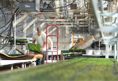
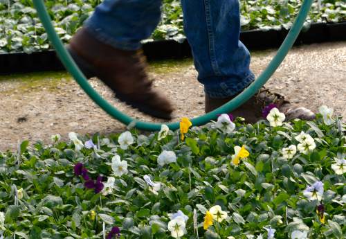
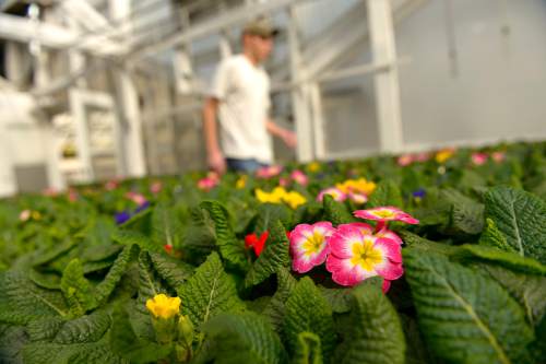
A bit of cool would be welcomed Wayne Huber, manager of Joe's Greenhouse in Layton. The nursery is opening this week, about a month earlier than normal.
"This is quite an early start," Huber said. "I'm not sure what to make of it."
Huber hopes Utah does get some cooler air to keep the flowers and fruit trees from budding early, leaving them vulnerable to a hard freeze before official spring arrives.
"They haven't gotten so far yet that they will flower and freeze," he said. "And some more water [rain and snow] would be helpful."
This winter's whether is not a result of El Niño — a band of unusually warm ocean surface currents that can affect weather patterns — meteorologist Seaman said. Although an El Niño was forecast, it didn't materialize.
Nonetheless, a wet, cool spring is not out of the question, he said, referring to 2011, when snow fell through May.
"This has been an unusual year," Seaman observed.
Officially, spring is more than a month away.