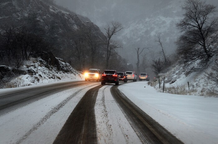
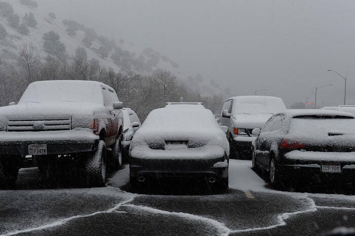
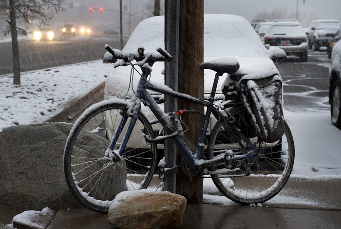
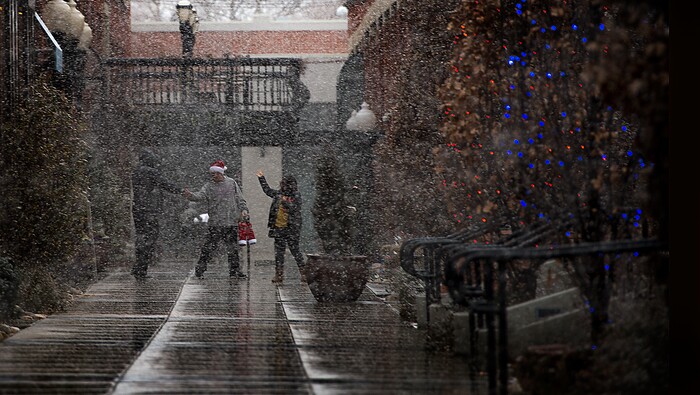
Relatively high temperatures dropped quickly Wednesday as a snowstorm moved through the Wasatch Front in the afternoon, covering roads and clearing out pollution from the Salt Lake Valley.
As of 8 p.m., Layton, Hyrum and Alta recorded the highest totals, all receiving 4 inches of snow.
The Salt Lake and Tooele valleys received an average 1.8 inches of snow, with totals between half an inch and 3 inches in some cities. Most of the snow accumulated in Millcreek, Sandy and South Jordan.
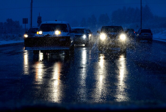
(Scott Sommerdorf | The Salt Lake Tribune) Drivers on Wasatch Blvd. as snow falls, Wednesday, December 20, 2017.
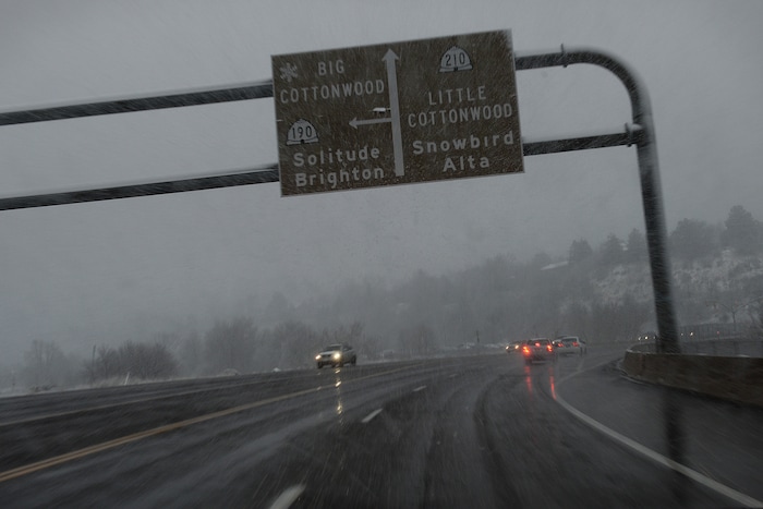
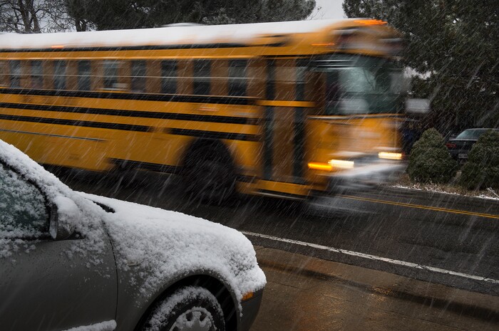


Snow began falling about 3:30 p.m. in northern Utah and hit Utah County about 6 p.m. The cold front hit Dixie about 8 p.m. but didn’t bring much if any snow, although forecasters predict some snow could fall overnight.
In Salt Lake City, the snowstorm dropped temperatures by about 20 degrees, bringing highs from the mid-50s to the mid-30s.
The winter storm also brought with it better air conditions.
While Salt Lake County air levels were moderate before the storm, conditions were considered good by 8 p.m. Those good conditions are predicted across the state on Thursday and Friday, according to the Utah Department of Environmental Quality’s forecast.
A winter weather advisory in Cache Valley and along the Wasatch Front is expected to expire Wednesday night.
Thursday will be breezy in Salt Lake City, the NWS says, with cloudy skies and a 30 percent chance of snow in the morning. Highs will be in the lower 30s. Thursday night skies will be mostly clear, with lows dropping to 15 to 20 degrees.
Central and southwestern Utah are expected to remain under a winter storm warning until 4 p.m. Thursday.
In those regions, forecasters predict between 4 and 8 inches of snow will fall along the Interstate 15 corridor into Thursday afternoon.
Forecasters warned drivers of likely “difficult” travel conditions in those areas.
The central and southern mountain areas are also under a winter storm warning until 4 p.m. Thursday. The area could receive 8 to 18 inches of snow, and forecasters warned drivers that they’ll have limited visibility on snow-packed roads.
A winter weather advisory is in effect for the western Uinta Basin, Castle Country, San Rafael Swell and the Sanpete and Sevier valleys until 4 p.m. Thursday. The NWS said 2 to 5 inches of snow could fall Wednesday night into Thursday afternoon, and drivers should prepare for slippery conditions.
Snowfall prompted the Utah Avalanche Center to warn of moderate avalanche danger near Ogden, Salt Lake City and Provo, and of considerable danger near Logan and the Uintas.
For more detailed weather information, visit The Salt Lake Tribune’s weather page: www.sltrib.com/weather.