

This is an archived article that was published on sltrib.com in 2014, and information in the article may be outdated. It is provided only for personal research purposes and may not be reprinted.
Residents along the Wasatch Front might wake up to a little more overnight snow.
Some light snow was expected to fall Thursday evening, though any new accumulations would range between a dusting and 2 inches, according to the National Weather Service. However, snow could accumulate and turn into ice on the roads in the mountains of northern and central Utah, and in the valleys north of Davis County.
"Isolated icing will become a possibility for other areas along the Wasatch Front, including areas south of Ogden," according to a weather service report, though not as widespread.
Friday looks to be a bit warmer than Thursday, in the upper 40s, with additional precipitation holding off until evening. The St. George area can expect rain showers as well on Friday, along with a high temperature of 63 degrees.
Winter storm advisories are in place for northeastern and southeastern Utah's mountains as the weekend nears. The region's all-too-brief autumn is fast unraveling.
John Updike might put it this way: "The year is old, the birds are flown. And yet the world, in its distress, displays a certain Loveliness."
A Winter Storm Warning was issued through midnight Saturday for Monticello area, where 5-10 inches of snow was forecast to fall at 8,500 feet elevation and above. West winds of 10-20 mph, with gusts up to 30 mph, will add a considerable chill factor.
On Thursday, snowfall was reported in the Wasatch Mountains — especially heavy along Interstate 15 in the Ogden area — and cold rain in the valleys as high temperatures struggled to approach 40 degrees.
The snow led to dozens of crashes in northern Utah Thursday, with 16 in Davis County, 34 in Weber County and 35 in Box Elder County, according to the Utah Highway Patrol. One of the Box Elder County crashes proved fatal.
Back to the snowy mountains for a moment. The Utah Avalanche Center forecasts low chances for slides in Provo, Salt Lake, Ogden and Logan-area mountains on Friday.
Still, be careful out there.
"With a storm in the forecast for Thursday through Saturday, new snow amounts may be great enough to increase the avalanche danger on the upper elevation northwest, north and northeasterly facing slopes that have a shallow base of weak, faceted snow," the center's Evelyn Lees cautioned.
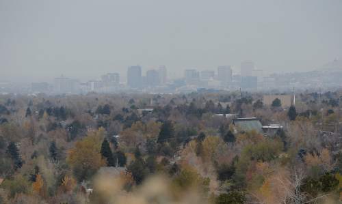
The Utah Division of Air Quality graded the entire state as "green," or healthy for breathing heading into the weekend.
For more extensive forecast information, visit the Tribune's weather page at: http://www.sltrib.com/weather.
Twitter: @remims Road Weather Alerts •
Northern Wasatch Front & Cache Valley:
Light accumulations of road slush will impact valley routes along and north of Ogden throughout the day on Thursday. Areas include Logan, Ogden, Brigham City and Snowville.
Northern Mountain Routes:
Accumulations of road snow and slush will impact mountain routes throughout the day on Thursday. Routes include Highway 89 over Logan Summit (east of Logan), Highway 89 over Sardine Summit (east of Brigham City), Upper Big and Little Cottonwood Canyons (SR-190/SR-210) and Highway 40 over Daniel's Summit (southeast of Heber).
— Source: UDOT