


This is an archived article that was published on sltrib.com in 2017, and information in the article may be outdated. It is provided only for personal research purposes and may not be reprinted.
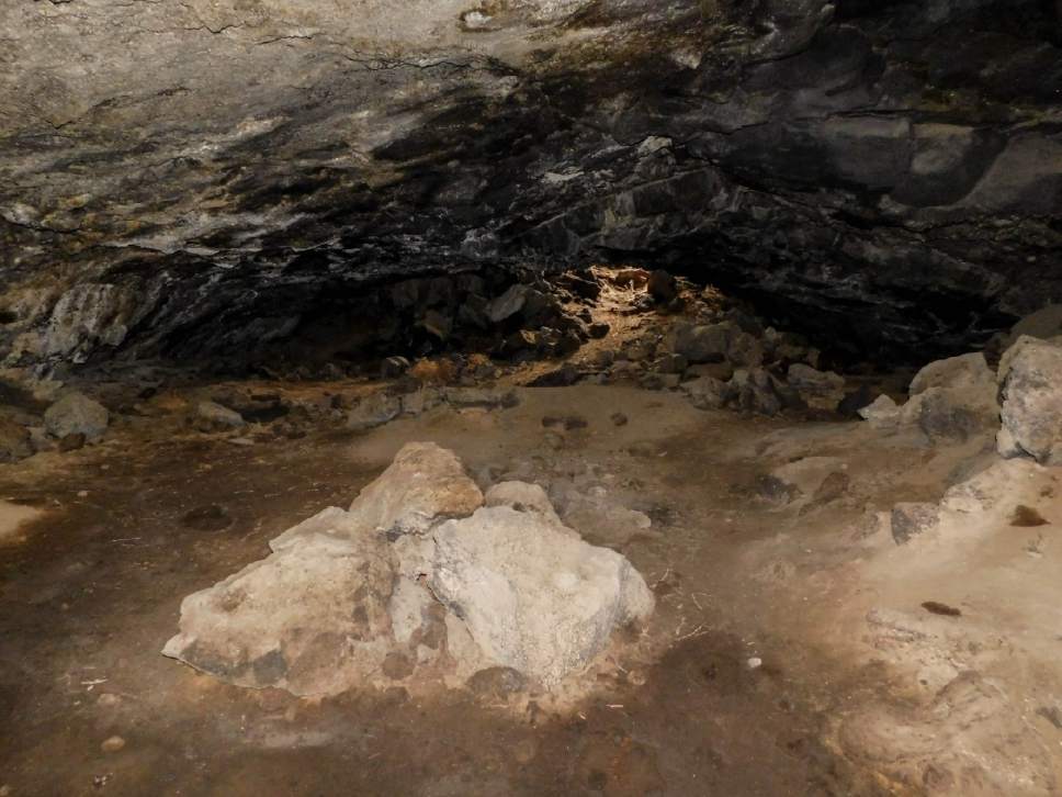
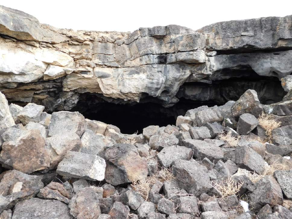
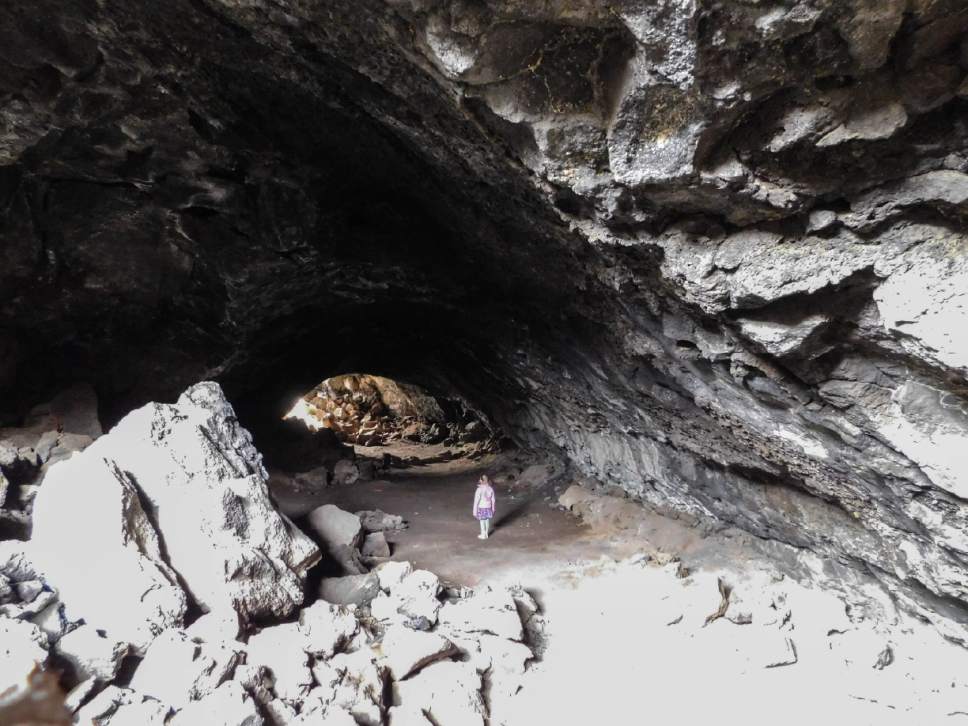
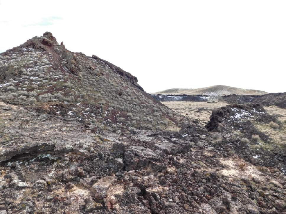
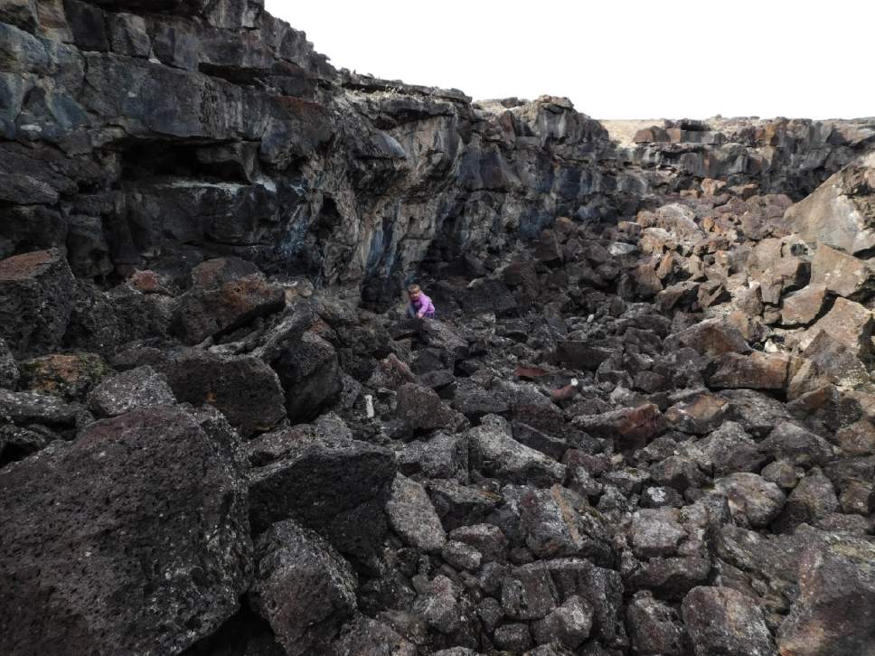
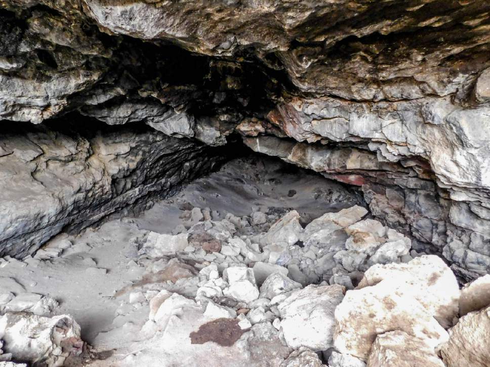
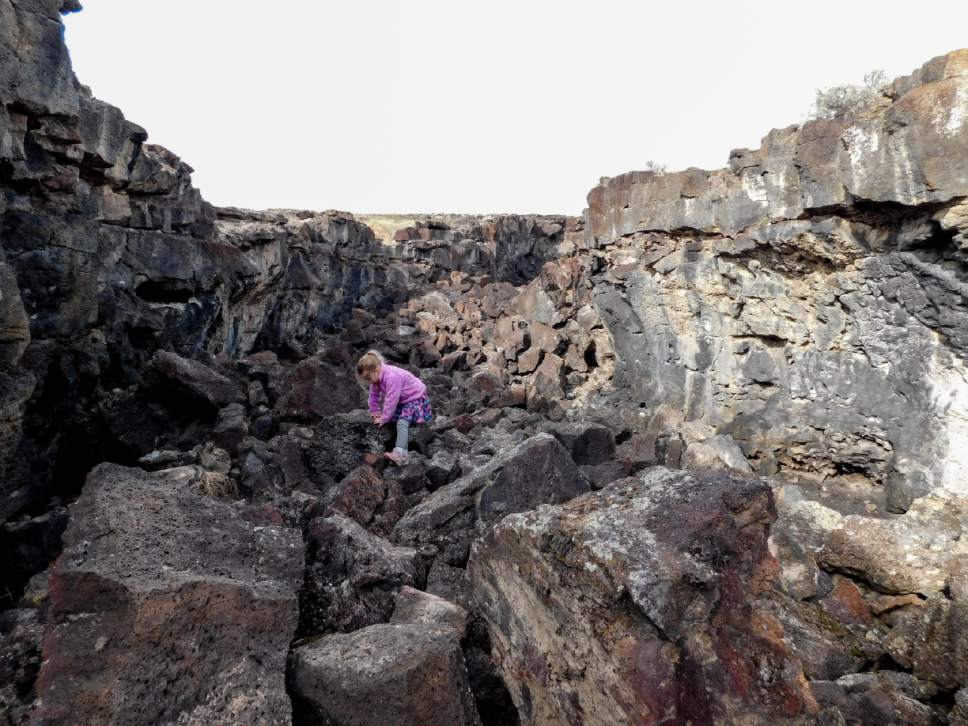
The Meadow Lava Tubes are a series of underground passages left by lava flows long ago. Parts of the tubes have collapsed, leaving deep, ditchlike corridors with floors of black boulders. But parts of them remain enclosed tunnels.
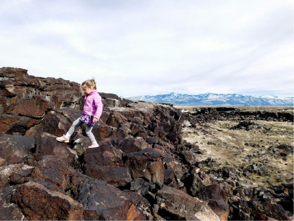
The tubes are fun to scramble through, and they are just minutes away from the Meadow Hot Springs. Dogs likely will struggle on this hike, as the boulders are quite large in spots and the rock is quite sharp on the paws. You may see remnants left by campers in the tubes; please pack out any garbage you may find.
Directions • From Interstate 15, take exit 158 to Meadow and turn south on State Road 133. About 1.4 miles from the end of the interstate offramp, a well-graded road runs west. Turn onto it and drive over the interstate, 1.15 mile away. Continue west on this road for about a mile to a junction with a gravel road to the north, labeled on maps as 4800 West. Take this road north for 1 mile to 3900 South. Turn northwest and continue 3.4 miles as the road turns north, becoming 6400 West, to a T-junction with 2300 South. Take 2300 South west and then northwest for 1.8 miles to a signed junction with Lava Tubes Road. The road winds a rough 2.1 miles south to a loop parking area.
Hike • Finding your way into the tubes may require a bit of exploring, but once you're in it's pretty clear. The best entry point I found was in a ditchlike hole just a few yards to the northeast of the north point of the parking loop. A trail is visible lengthwise through the ditch, going in both directions.
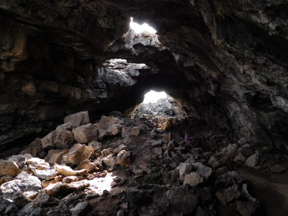
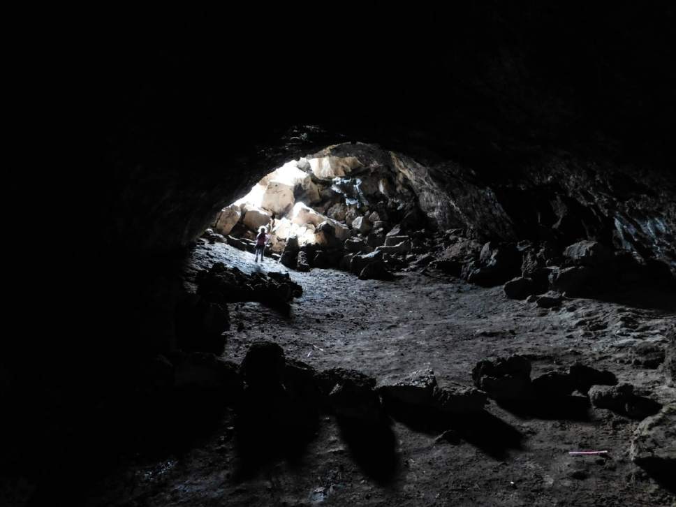
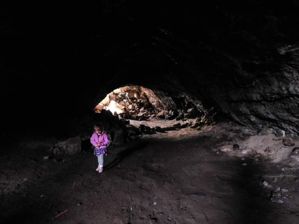
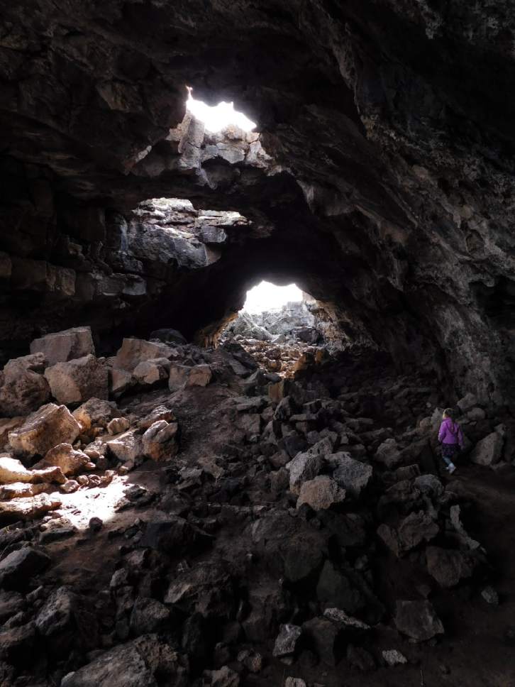
Take the trail east into the first lava tube, which is quite long and dark. Hikers will want a flashlight or headlamp to find their way through. It ends in another open ditch; you climb out and return to the original entry point, or you can walk back through the lava tube. Continue west through the first ditch into the next tube, which passes under the road. After a brief open spot, continuing southwest, hikers will enter a tall chamber with holes in the ceiling like skylights. That chamber opens to the south onto a long, open corridor of black boulders. Pick your way over the boulders about 0.1 mile south to a field. Cut south across the field and up the boulders back to the surface. A dirt track runs east and north, back to the parking loop.
Digital map available at https://drive.google.com/open?id=1JA9xKRWvnCNiH-V6EVqytyqlyCA&usp=sharing.
— Erin Alberty
Destination: Lava tubes
Hiking time • 1 hour
Round-trip miles • 0.75 miles
Elevation gain • 40 feet
Difficulty • Easy
Trailhead restrooms • No
Dogs allowed • n/a
Bikes allowed • n/a
Fees • n/a
DestinationLava tubes
Hiking time1 hour
Round-trip miles0.75 miles
Elevation gain40 feet
DifficultyEasy
Trailhead restroomsNo
Dogs allowedn/a
Bikes allowedn/a
Feesn/a