


This is an archived article that was published on sltrib.com in 2016, and information in the article may be outdated. It is provided only for personal research purposes and may not be reprinted.
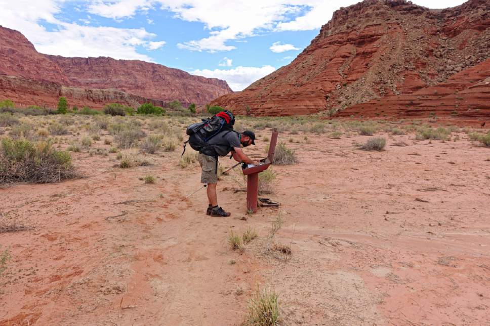
Directions • Obtain permits from the Paria Contact Station along U.S. Highway 89 near Kanab, Utah, then head back northwest for 5 miles and take a left onto House Rock Valley Road. Follow this road 8.4 miles to reach Wire Pass Trailhead. You will need to either leave a second car at the destination or arrange for a return shuttle from Lee's Ferry, Arizona.
Hike • Plan out your meals, water, campsites and watch the weather before embarking on this trip. It is recommended to carry at least a gallon of water per person. There are several springs along the way, but many are not reliable or difficult to pump from. There are stretches of 13 or 14 miles without any springs, and even available springs can be easy to miss.
The Paria River is full of silt and not suitable for filtering except in an emergency. The silt in the river may also clog water filters. Between Wire Pass and Buckskin Gulch, you will be in flash flood danger for nearly 14 miles. Watch weather forecasts for rain and check in at the Paria Contact Station. It is also required that you pack out all waste.
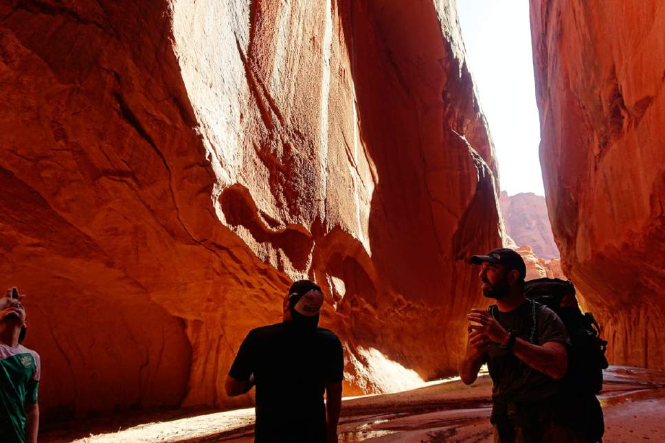
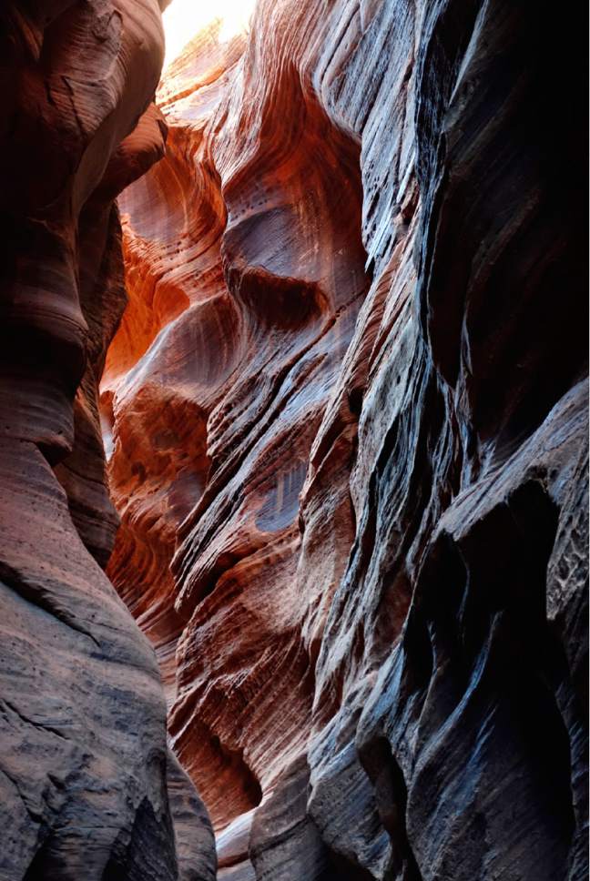
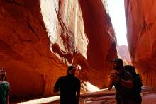
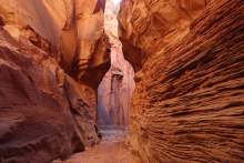
Wire Pass will take you quickly into narrow slot canyons converging with Buckskin Gulch. In the first 1.5 miles, there is a dropoff of about 10 feet. It is one of a few tricky spots along the hike, but does not require any equipment and is not especially difficult even for those without canyoneering experience.
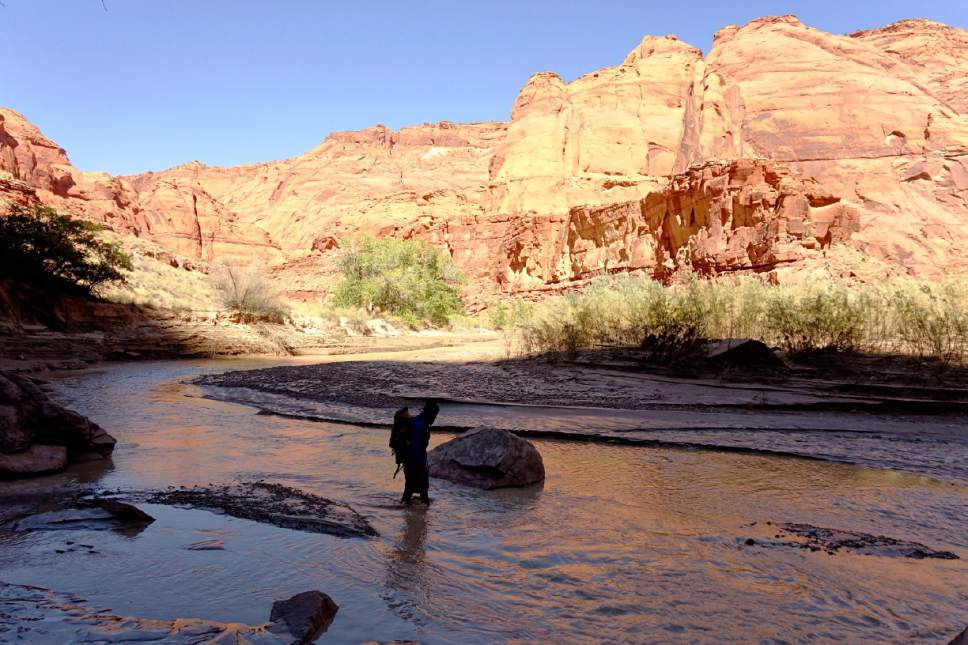
As you continue along the slot canyon, your feet will get wet and they will stay wet the remaining 40-some miles as you follow the Paria River with frequent crossings. Water levels in the slots can be deep, so keep your sleeping bag and water-sensitive items in dry sacks or garbage bags.
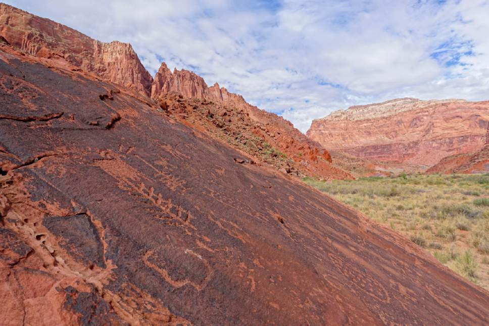
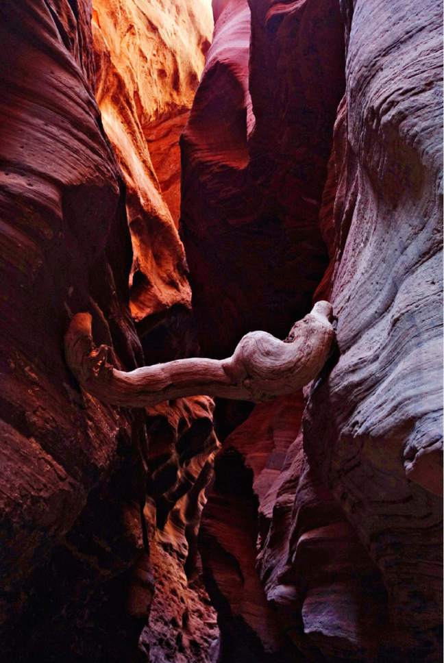
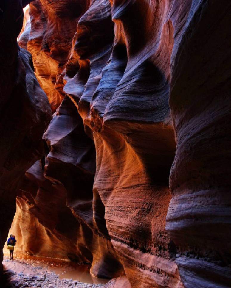
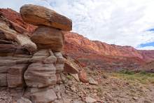
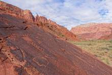
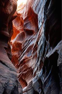
Sunlight peeking into the canyon reveals brilliant colors and textures. About 7 miles from the trailhead, there is a spot where the canyon becomes noticeably wider and more shallow. It marks an approximate halfway point through Buckskin Gulch and makes a good lunch spot, or an escape route from the narrows in an emergency. There are also some petroglyphs in this area hidden on the canyon walls to the left.
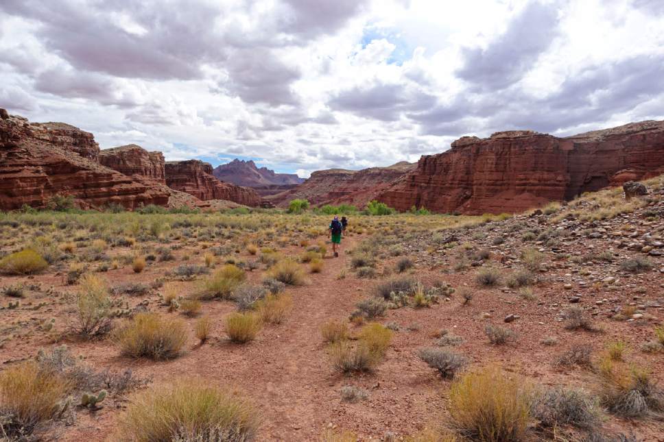
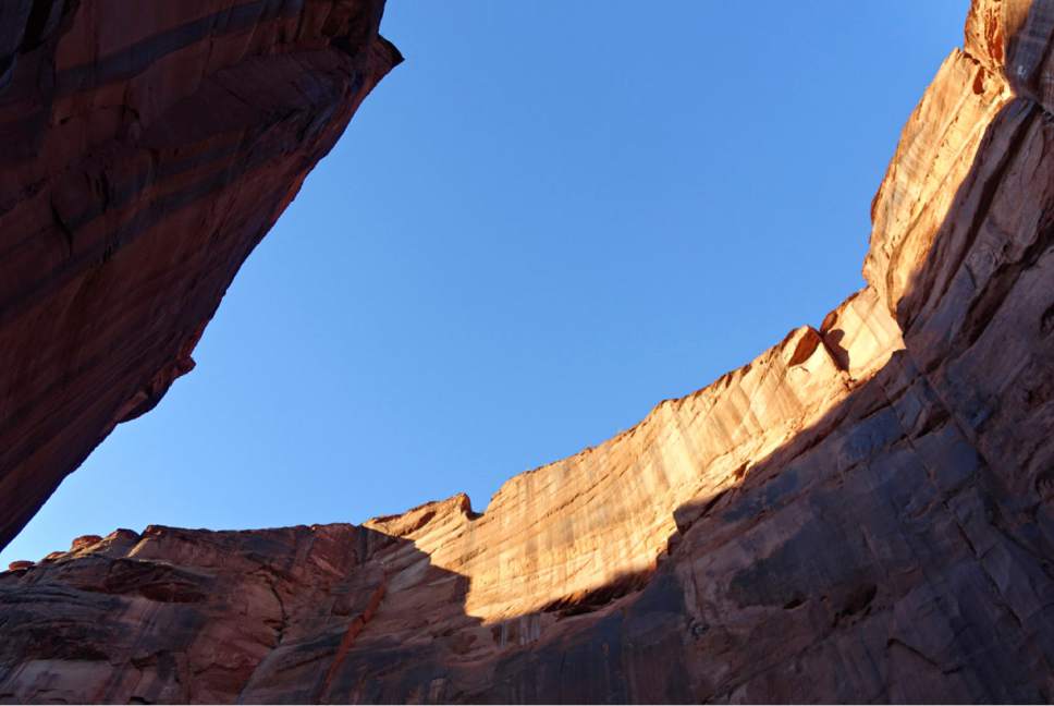
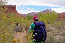
The trail continues back into the narrows for nearly 7 miles before you reach the confluence with the Paria River and first suitable campsites. The second day takes you into the deep gorge of Paria Canyon, crossing the border into Arizona. Colorful rock cliffs reach hundreds of feet overhead with hidden treasures of petroglyphs, springs and flora.
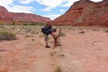
You will learn to carefully navigate the river for drops and soft spots of quicksand. It is a good idea to use poles along the river to test for solid ground.
Campsites are abundant along the river, but I would recommend continuing at least until you pass Judd Hollow, an old pump built in a failed attempt to pump water out of the canyon in the 1930s. Not far from Judd Hollow, watch the right side of the canyon for a deep crack in the rock called The Hole. It is a small oasis of greenery and spring water.
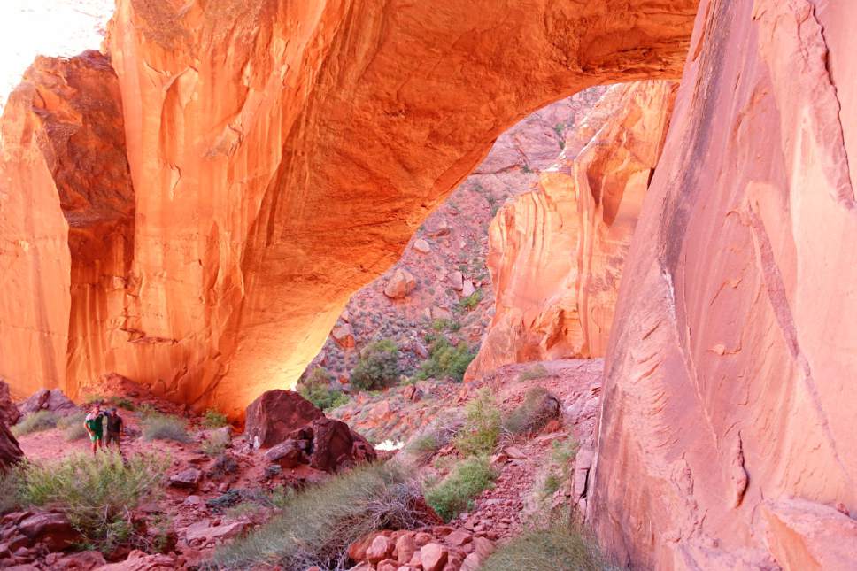
Also on the right, a couple of miles along the river, an optional side canyon called Wrather Canyon takes you for a mile on a steep climb to the massive Wrather Arch. There is also pumpable water emptying out of Wrather Canyon. In late September, it was available about 1,000 feet into the canyon.
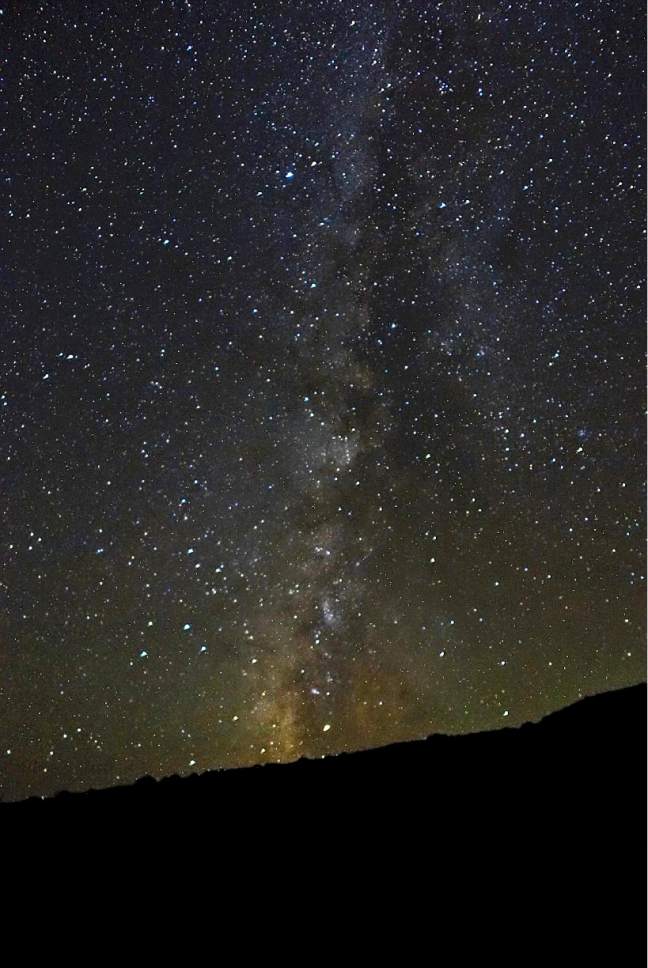
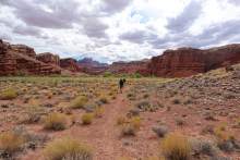
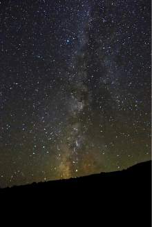
Inspect your map for available springs such as Shower Spring or Last Reliable Spring on this day, because it is your last chance for water before the hot and dry trek to Lee's Ferry. As the canyon widens and the rock formations begin to change, suitable campsites become more sparse but also offer incredible views of the night sky.
The final stretch to Lee's Ferry contains more dry land, some scrambling and plentiful petroglyphs on large boulders decorating the canyon. It is easy to overestimate the distance you have covered with the faster pace along dry land. When you spot remains of Wilson Ranch, a small stable off to the right of the trail, you are about 6 miles from the end of the trail.
Find more Utah hiking trails in our database: http://local.sltrib.com/hiking
— Lennie Mahler
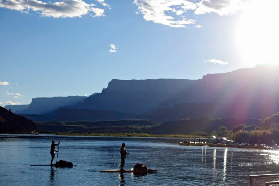
Destination: Lees Ferry
Hiking time: 4 days
Distance: 44 miles
Elevation: -1,830 feet
Difficulty: Difficult
Trailhead restrooms: Yes
Dogs allowed: Yes, with additional $6 per day permit
Bikes allowed: No
Fees: $5 per person per day with permit