

This is an archived article that was published on sltrib.com in 2015, and information in the article may be outdated. It is provided only for personal research purposes and may not be reprinted.
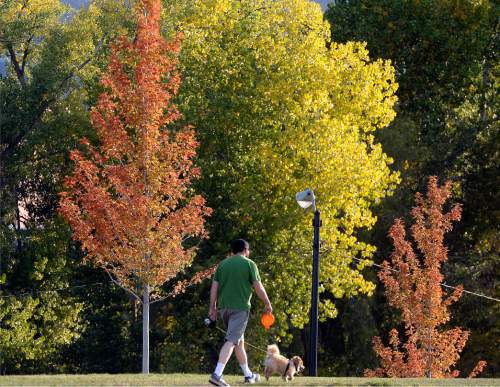
If this fall felt particularly warm in Salt Lake City — it was. In fact, it was the city's warmest on record.
This past meteorological fall (September, October and November) was Salt Lake's warmest since the city's climate records began in 1874, the National Weather Service announced Saturday. The capitol city wasn't alone; most locations around the state averaged 1 to 5 degrees above normal for the season, as well, after "a somewhat cooler November helped balance out the very warm September and October," said meteorologist Cristen Kruse in a YouTube video released by the weather service on Saturday.
"Of the three fall months, the month of October was the warmest compared to normal for much of the state," Kruse said. Logan and St. George experienced their third-warmest October on record, while Bryce Canyon had its fourth warmest.
Utah was far from the only state with a balmy autumn, too. Temperatures were above average for most of the country this fall, Kruse said. Much of the United States was 1 to 3 degrees above normal, with some central states experiencing autumns that were 3 to 5 degrees warmer than usual, according to a chart published by the weather service.
"To go along with the warm temperatures, some locations in central Utah experienced little or no precipitation for the month of October," Kruse said. September was particularly scant for some central cities. Fillmore only reported 0.01 inches of rain or snow in September, while Ephraim and Manti reported their fourth driest Septembers on record.
Meanwhile, southern and far northern Utah averaged above-normal precipitation for the season.
The record-breaking fall follows the balmiest and least snowy winter in Salt Lake City's climate records, as well.
But the strong El Niño brewing in the Pacific Ocean could spell more rain and snow for the Beehive State. "Something to remember is that the impacts to Utah are typically later in the winter and early in the spring," Kruse said. February through April, most of Utah is expected to receive more precipitation than normal.
Twitter: @MikeyPanda