

This is an archived article that was published on sltrib.com in 2015, and information in the article may be outdated. It is provided only for personal research purposes and may not be reprinted.
Directions • Follow U.S. 89 out of Logan. Go past Utah State University and into the canyon. From the ranger station at the mouth of the canyon, travel about 20 miles and turn left at the Tony Grove turnoff. Make another quick left and drive up the hill about 7 miles. Park at the paved trailhead.
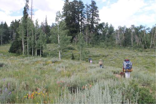
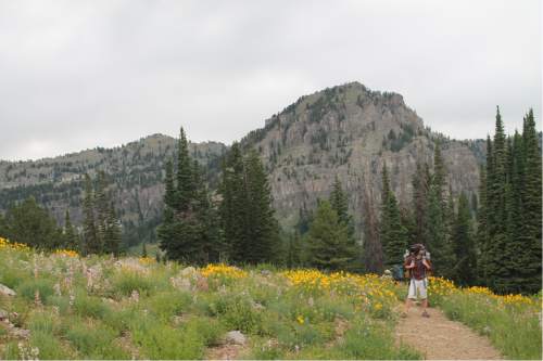
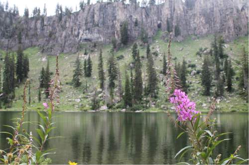
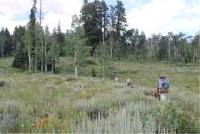
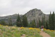
The trailhead starts on the north side of the Tony Grove Lake parking lot (be prepared to pay a $6 per day parking fee). The dirt trail begins with a gradual uphill climb, and reaches a fork less than 1/3 mile in. Follow the sign for White Pine Lake (go to the right). Continue on the well-groomed trail, where hikers can observe beautiful purple, red and blue wildflowers that cover the valley floor. Just under a mile into the trail, the trail forks again — go right this time. Continue following the trail, which will hit its highest point just over two miles in. Follow the switchbacks to descend quickly into another valley, where the trail meets up with the White Pine River. Look for a sign to the lake pointing west. Continue on the trail — which got pretty muddy at this point during our hike in late-July — until the view opens up onto the lake. This gorgeous trail is also the perfect beginner's backpacking trip. We spent two nights perched above the north side of the lake, where a grouping of primitive campsites had been established. A very primitive pit toilet is also nearby on the northeast of the lake. But keep in mind that this trail is very popular, and you won't be alone as you camp out near this beauty.
Jessica Miller DestinationWhite Pine Lake
Hiking time4 hours
Round trip miles7.6
Elevation gain795 feet
DifficultyModerate
Trailhead restroomsYes
Dogs allowedYes
Bikes allowedYes