


This is an archived article that was published on sltrib.com in 2017, and information in the article may be outdated. It is provided only for personal research purposes and may not be reprinted.
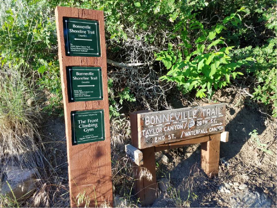
Directions • From Interstate 15, take the 31st Street exit and head east. Turn left on Washington Boulevard, then turn right onto 30th Street. Turn left on Tyler Avenue, then right on 29th Street. Drive to the end of the street, where you will find a parking lot on your right.
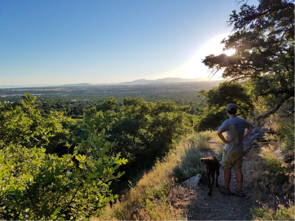
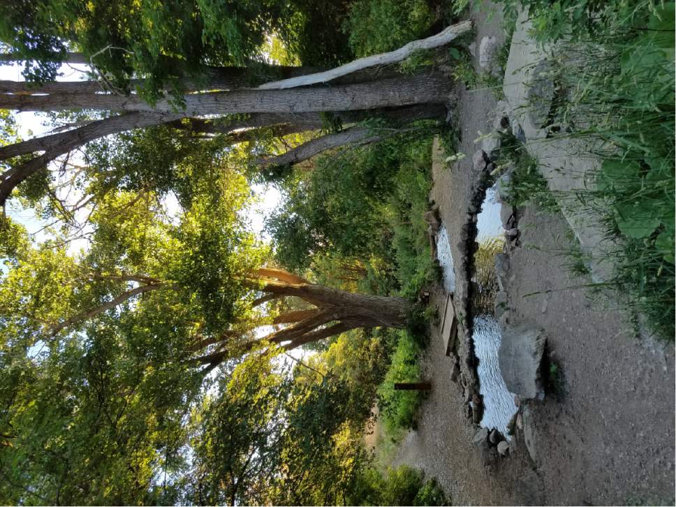
From the 29th Street trailhead, follow the signs for Waterfall Canyon. Once you reach a wide, sandy path, stay to the left. You'll soon spot "Private Property" signs and a rope blocking off the wide trail, but look for a smaller trail on the right that will lead you higher up the mountain. Here, hikers are allowed to travel through the private property on a narrow trail. From here, follow the signs for "North Taylor Canyon" and "Pond Trail." Along the way, you'll be shaded by scrub oak as you meander the dirt trail, which will lead you to a small, man-made pond and eventually close to a river. The trail ends near the river after about a mile hike. But hikers have many options: You could continue higher into Upper Taylor Canyon or onto Malan's Peak — or if you have a shorter hike in mind, return the way you came or follow the signs to return via the "South Taylor Canyon" trail.
Destination: North Taylor Canyon
Hiking time • 1 hour
Round trip miles • 2.16 miles
Elevation gain • About 400 feet
Difficulty • Moderate
Trailhead restrooms • No
Dogs allowed • Yes
Bikes allowed • Yes
— Jessica Miller