


This is an archived article that was published on sltrib.com in 2017, and information in the article may be outdated. It is provided only for personal research purposes and may not be reprinted.
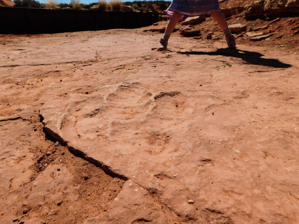
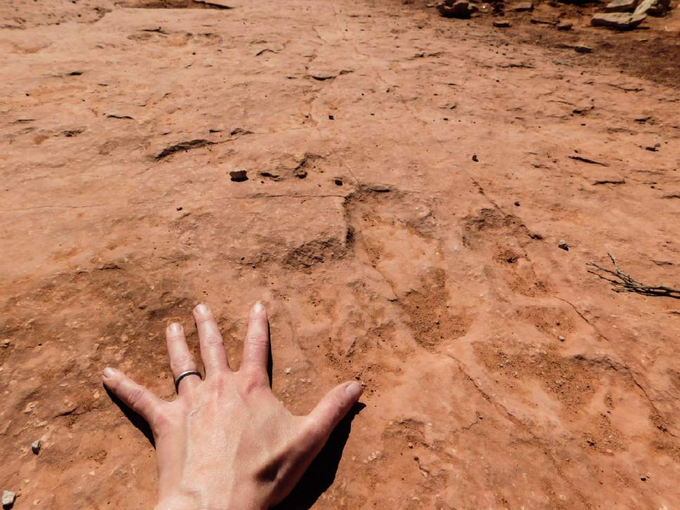
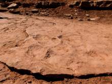
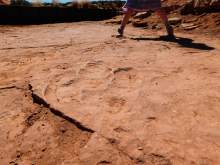
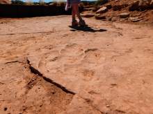
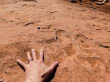
This short and sweet hike leads to a floor of sandstone that contains a display of dinosaur tracks. The tracks probably were left by the famous carnivore dilophosaurus and smaller megapnosaurus, paleontologists believe. In an interpretive sign at the tracks, officials with the U.S. Bureau of Land Management report that the consistent direction of the tracks suggests that the spot was part of a dino thoroughfare, perhaps alongside water, and petrified wood nearby indicates the area may have been wooded.
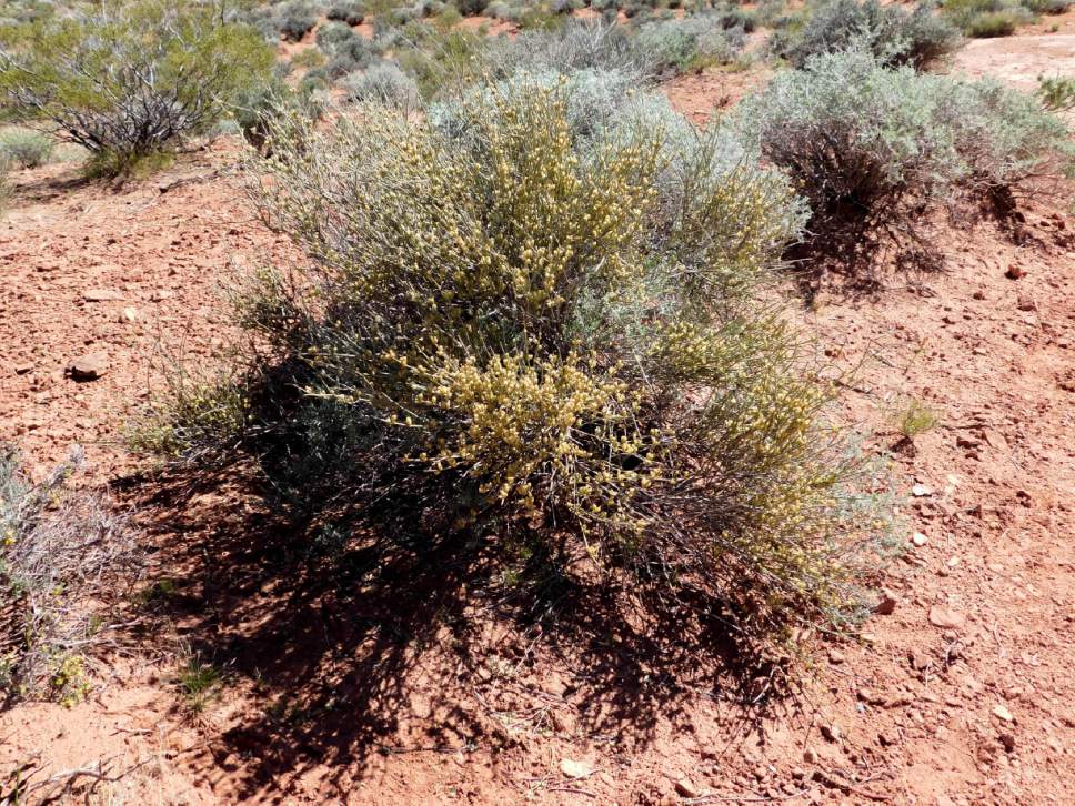
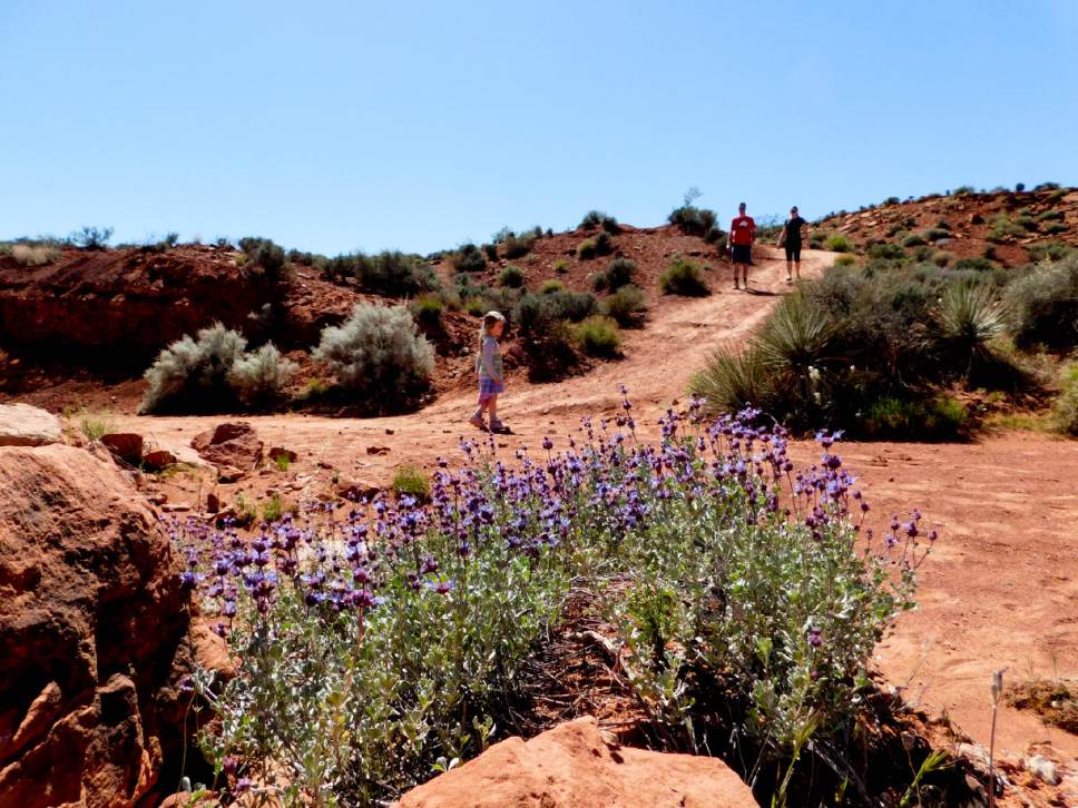
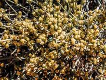
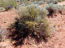
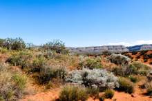
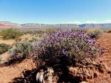
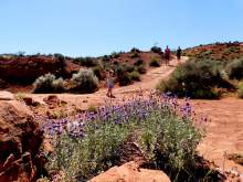
The now seemingly barren desert was a lovely place to view spring wildflowers; as of early April, I found desert sage and Mormon tea shrubs smothered with flowers, and big swaths of marigold and desert alyssum nearby.
Directions • From Hurricane, take South Airport Road to the south end of town, where the road makes a sharp right turn. Stay on the main road as it bends south again and continues for about 6.5 miles to a fork in the road. Take the west fork and continue 2.8 miles to the southwest, to a junction with a westbound road. Take that road as it winds west for about 3.2 miles and turns sharply north. About 0.6 miles after the road turns north, there is a junction with a sign to the dinosaur tracks. Follow the sign onto the east road, which continues about a half-mile east and then a half-mile north to a parking lot and trailhead. The roads were fine for a passenger car in dry condition, but never underestimate the power of a late summer storm to wreak havoc on southern Utah's roads.
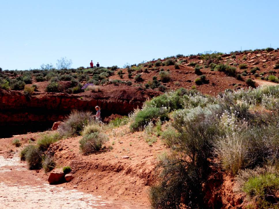
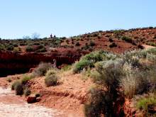
Hike • The hike is only a quarter-mile one-way, heading north and then east. A metal bar protects the dinosaur tracks from water, and a sign at the site shows a map of the tracks. Some of them are large — about a foot long — and others are smaller. Children of all ages will have fun searching for tracks in the rock and imagining the 8-foot-tall predators that left them. You can continue exploring down the drainage a bit or return to the car.
Digital map available at https://drive.google.com/open?id=1HxLFrq6jYGDqBXkncBSIhCa-xXs&usp=sharing.
— Erin Alberty
Destination: Warner Valley Dinosaur Tracks — Hurricane
Hiking time • 30 minutes
Round-trip miles • 0.5 miles
Elevation gain • 40 feet
Difficulty • Easy
Trailhead restrooms • No
Dogs allowed • Yes
Bikes allowed • Yes
Fees • None