


This is an archived article that was published on sltrib.com in 2016, and information in the article may be outdated. It is provided only for personal research purposes and may not be reprinted.
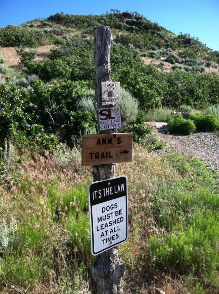
The trail is named for Ann Parr, an advocate for trails and open spaces in Draper and the Corner Canyon area of Salt Lake County. She died in 2012.
Directions • The East fork of Ann's Trail begins at the Potato Hill Trailhead in Draper. From Interstate 15, exit onto Bangeter Highway and go east. Follow the road for 3.8 miles as it becomes Traverse Ridge Road. The trailhead is on the north side of the road.
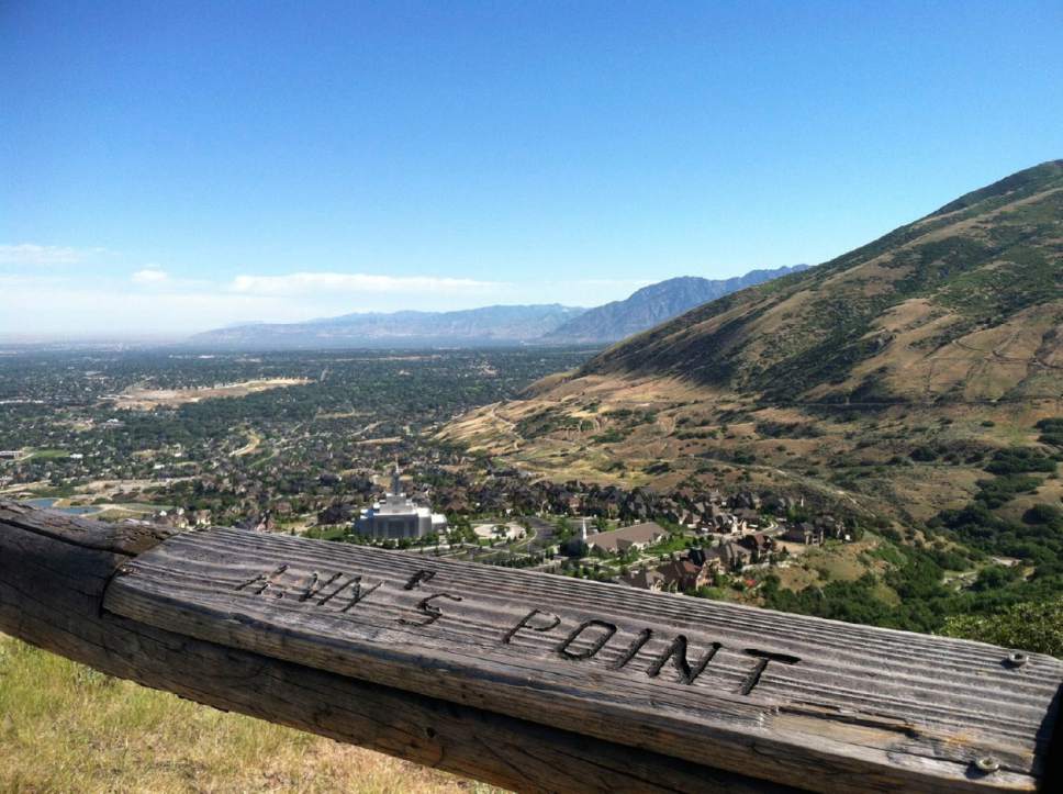
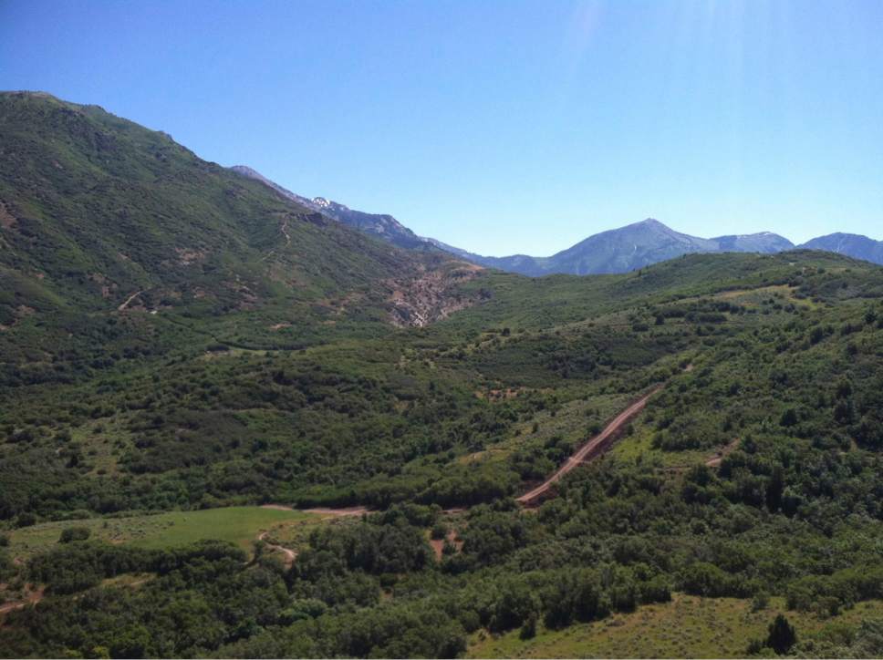
Hike • From the trailhead, follow the signs east through the trees. At .4 miles, you will have a view of the Draper LDS temple. At .6 miles, you arrive at Ann's Point, with a view of the south end of the Salt Lake Valley. The trail winds southeast and at .9 miles you cross over a culvert and arrive at the shadiest part of the hike. The trail winds northeast and then southeast before arriving at the Peak View Trailhead at 2.52 miles.
— Nate Carlisle
Digital map available at: http://www.trimbleoutdoors.com/ViewTrip/3248412
— Nate Carlisle
Destination: Peak View Trailhead
Hiking time • 2 hours
Round-trip miles • 5 miles
Elevation gain • 602 feet
Difficulty • Easy
Trail head restrooms • Yes
Dogs allowed • Yes
Bikes allowed • Yes
Fees • No