


This is an archived article that was published on sltrib.com in 2016, and information in the article may be outdated. It is provided only for personal research purposes and may not be reprinted.
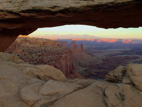
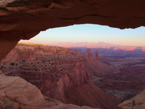
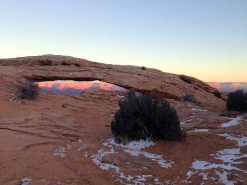
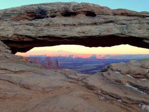
Mesa Arch is a short, rewarding loop hike to and from an arch with spectacular views of the Colorado River canyons east of Canyonlands National Park. The arch is made famous by photographers whose predawn journeys have produced magnificent sunrise images at this spot.
Directions • From the Island in the Sky visitors center, travel south about 6 miles on Grand View Point Road to the Mesa Arch parking lot on the east side of the road.
Hike • From the trailhead, follow the marked trail southeast as it winds around rocks and gradually descends just over a third of a mile to Mesa Arch. Walk down the slope to the arch, which forms a window to the east, overlooking the enormous redrock canyons carved by the Colorado River. Do be careful at the arch, which is perched atop a high drop-off.
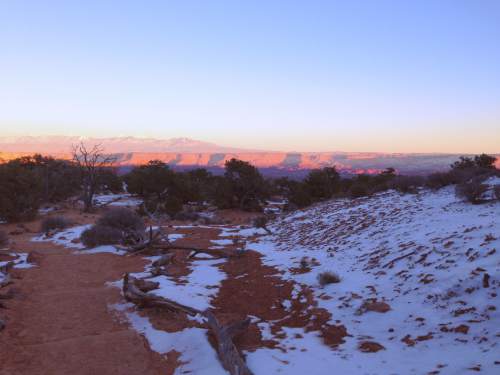
Go a short ways back uphill to where the loop continues north and then west through slickrock and juniper shrub-groves, back to the parking lot.
Digital map available at http://www.mapmyrun.com/workout/1315455423/.
Erin Alberty
Destination: Mesa Arch
Hiking time • 1 hour
Round-trip miles • 0.75 miles
Elevation gain • 90 feet
Difficulty • Easy
Trailhead restrooms • Yes
Dogs allowed • No
Bikes allowed • No
Fees • $25 per vehicle or $10 per person (park entrance fee)