


This is an archived article that was published on sltrib.com in 2015, and information in the article may be outdated. It is provided only for personal research purposes and may not be reprinted.
No place on Earth looks like Bryce Canyon National Park.
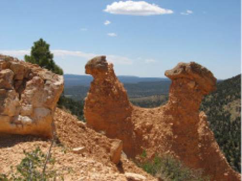
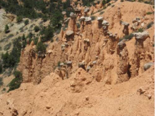
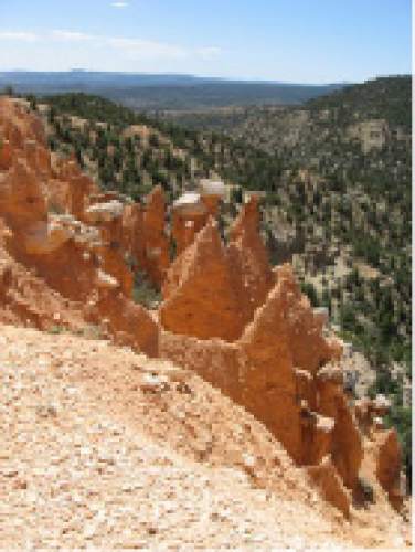
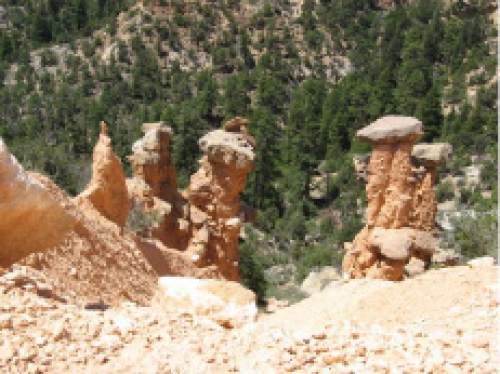
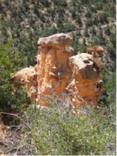
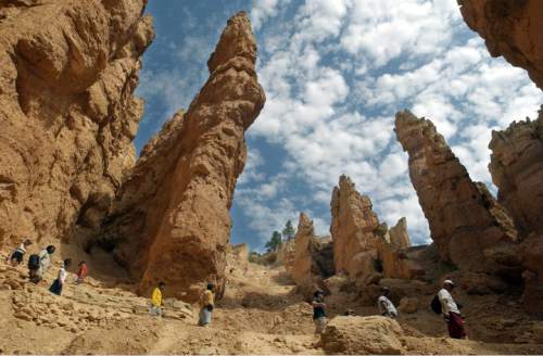
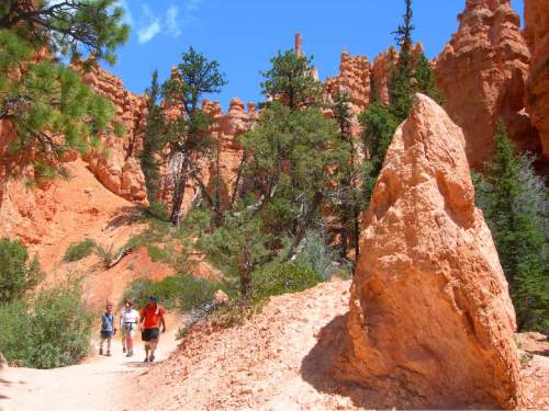
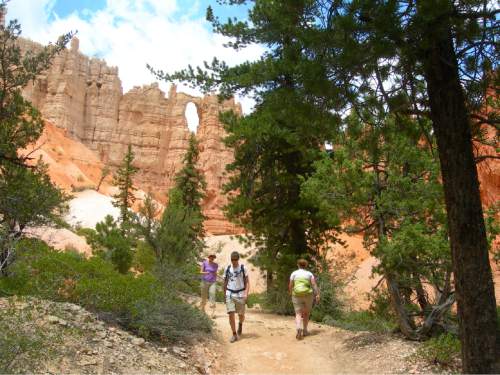
There's no place with all those spires of red, pink and white rocks, called hoodoos. From the top of that canyon that gives the park its name, the hoodoos create what looks like mazes within mazes.
Hiking in Bryce Canyon isn't as daunting as it might look from one of the park's viewpoints, but taking day hikes there — much like the scenery — is different than what you'll find elsewhere.
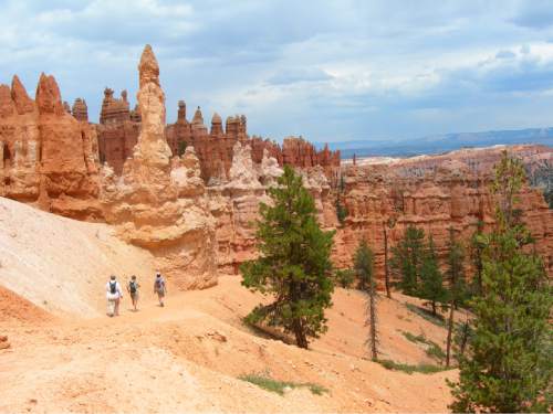
Bryce Canyon is a mini-Grand Canyon — most hikes start with a descent and end with an uphill climb. But the descents aren't as severe as what you'll find at the Grand Canyon and shouldn't deter you from hiking, so long as you know what you're getting into.
Plus, because Bryce Canyon sits at a high elevation (the visitors center sits at about 8,000 feet) it tends to be slightly cooler than Salt Lake City and Utah's other national parks, and a lot cooler than the Grand Canyon. You'll still need plenty of water.
Here are five great hikes in the park.
In 2013, The Tribune surveyed readers and found this was their favorite trail. It's easy to understand why. The 5.5-mile loop is actually a combination of three trails that offer the best of the park. There's a narrow canyon, arches and hoodoos galore. Start at the Navajo Loop Trail sign to begin the descent down switchbacks for the first mile. You may encounter a traffic jam of tourists on this area, called Wall Street for the way the trail winds through the pink, white and red cliffs and spires. Follow the signs to the Peekaboo Loop, taking the left (eastern) path so you make a clockwise loop. At 2.4 miles, you'll see The Windows — holes high on the rock wall. Keep following the trail and then the signs to Queens Garden. The toughest part of the hike is the ascent back to the top. You'll gain 582 feet when the hike is finished. You can catch the shuttle or follow the rim trail back to the trailhead for the Navajo Loop.
The Hat Shop
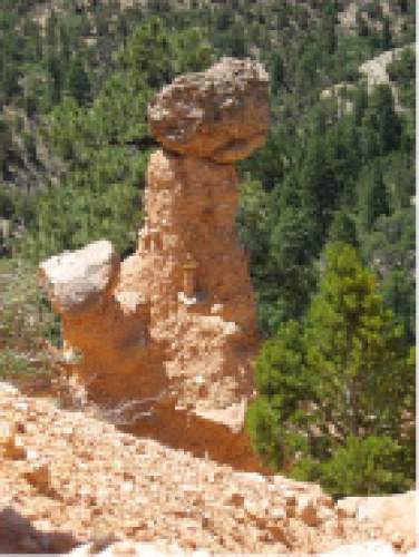
As if the hoodoos aren't impressive enough, sometimes they get even odder looking. They can be widest at the top, looking like a hat is sitting on their spires. The 3.7-mile roundtrip is part of the much larger backcountry trail system called the Under the Rim Trail. The hat shop itself is not marked by signs, so keep your eyes open. It sits on a steep slope 1.85 miles from Bryce Point.
Swamp Canyon Loop
The National Park Service calls this one of the lesser-known areas of the park and one of the greener. Firs and pines inhabit stretches of the hike. The south end of the 4.3-mile loop follows the Under the Rim Trail. Besides the trees and hoodoos, this hike also lets you spend some time with the geology of the Paunsaugunt Plateau. You'll descend and then climb 800 feet.
Tower Bridge
Bryce Canyon has arches and hoodoos. Why not bridges too? A horizontal rock connects itself to two, large spires to form Tower Bridge. From Sunrise Point, the trail is a 3-mile roundtrip. You will descend and then gain 950 feet. The trail is part of the larger Fairyland Loop.
Mossy Cave
Here's a good hike to end your day. That's because it's short, just 0.8 miles roundtrip with little elevation change. The best reason to hike this at the end of the day is because there's a waterfall and grotto at the end. According to the Park Service's website, Mormon Pioneers diverted water from the East Fork of the Sevier River to create an irrigation ditch at the cave. That has created a spectacular site, but is crumbling hoodoos in the stream. The trailhead is along State Road 12 away from the main body of the park, which may help you avoid crowds.
Twitter: @natecarlisle