


This is an archived article that was published on sltrib.com in 2015, and information in the article may be outdated. It is provided only for personal research purposes and may not be reprinted.
Directions • From Interstate 15, take exit 341 towards 31st Street. Turn right on Washington Blvd., then left at 40th Street. Continue on 40th Street, then turn right onto Harrison Blvd. Turn left on 4600 South, and follow the road until it turns slightly right. The trailhead is off to the left side of the road.
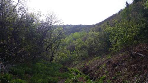
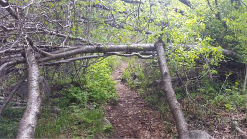
This shaded trail starts off fairly easy as it winds east up the mountainside. Before long, hikers will reach a fork in the trail, and they will want to stay right. The trail then begins a steady uphill climb, as the dirt path mirrors a small river. Hikers will have to cross the river a few times, but it is easy to navigate to avoid getting wet. Another fork will soon appear, and hikers will want to stick to the right again.
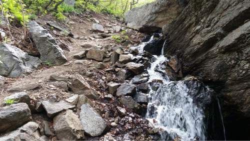
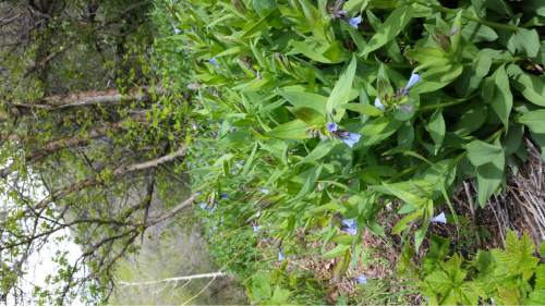
I initially hiked this trail with the idea of turning around at the one mile mark, where I had read there was a small waterfall. While it is a pretty, it is quite small — I'd hardly classify it as a waterfall — so I continued up the trail another half mile. This is where the trail becomes less shaded, and the trail runs through a meadow full of ferns and dotted with wildflowers. It's a unique piece of trail that is unlike many of the typical sights seen on the Ogden trails. With only a short hike in mind, I turned around in the meadow — but the Beus Canyon trail is actually nearly six miles and ends at the top of Ogden Peak, so those looking for a longer hike can continue on the trail until you reach the peak.
Jessica Miller Destination Lower Beus Canyon Trail
Distance 3 miles
Time 90 minutes
Elevation gain 1331 feet
Difficulty Moderate
Dogs Allowed Yes
Bikes Allowed Yes
Trailhead Restrooms No