

This is an archived article that was published on sltrib.com in 2014, and information in the article may be outdated. It is provided only for personal research purposes and may not be reprinted.
Directions • From Blanding, take U.S. Highway 191 south about 4 miles. Then turn west onto State Route 95. Follow that road for 20.8 miles. On the north side of the road, is a pull out for a hiking or wilderness area. Take that dirt road a few hundred yards. You will see a trail marker. Walk down an incline and you will see a trail kiosk for South Mule Canyon. The trailhead is at GPS coordinates 37.551552, -109.758545.
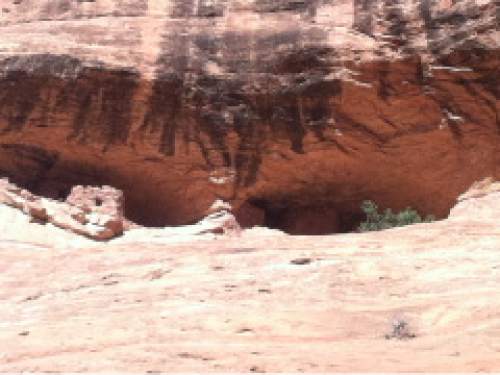
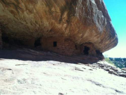
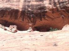
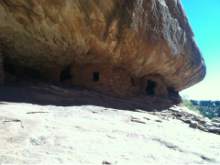
• Some of the most untouched Anasazi ruins in the state sit in South Mule Canyon. From the trail head, it's about a 1.25 mile walk to House on Fire, the most spectacular of the canyon's ruins. It and the other ruins are on the north wall of the canyon.Pay attention or you will miss some ruins. Using a GPS is difficult because of the narrow canyon, but in about a 4-mile walk into the canyon, you can find seven sites, the last is at coordinates 37.564243, -109.779251. The trail follows the canyon and is a mix of slick rock, soil and sand. The hiking could be difficult or even dangerous in the spring when water is in the canyon.
— Nate Carlisle DestinationDwelling near 4-mile mark
Hiking time2.5 hours
Round-trip miles8 miles
Elevation gain730 feet
DifficultyEasy
Trailhead restroomsNo
Dogs allowedYes
Bikes allowedNo
Fees$2 per person